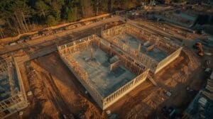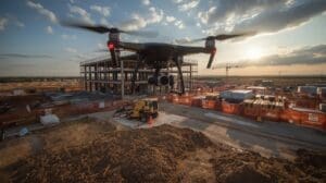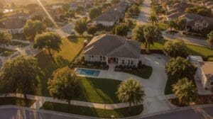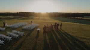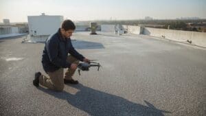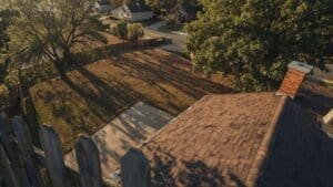
Real estate drone photography in Raleigh NC has changed the way homes get marketed. Buyers scroll past flat interior photos every day. An aerial shot of a property in North Hills, Cary, or Apex stops the scroll immediately. It shows the full lot, the neighborhood, and the scale of the home in one frame.
Raleigh’s housing market moves fast. Homes in popular zip codes receive multiple offers within days. Agents who use drone photography stand out in a crowded field, attract more qualified buyers, and often close at higher prices. This guide covers everything you need to know, from FAA rules to what happens on shoot day.
Key Takeaways
- Drone photos increase listing visibility — Aerial images generate significantly more clicks and online views than ground-level photos alone.
- FAA Part 107 certification is required — Any commercial drone operator filming your listing must hold a valid FAA license. Always verify before hiring.
- A standard residential shoot takes 1 to 2 hours — Delivery of edited photos and video typically takes 24 to 48 hours after the flight.
- Pricing in Raleigh ranges from $150 to $500+ — Scope, property size, and deliverables determine final cost.
- Raleigh airspace requires authorization in some zones — Properties near RDU International Airport may require LAANC airspace approval before a drone can fly.
- Preparation matters — Clean gutters, remove yard clutter, and park cars off the driveway before the drone arrives.
Why Do Raleigh Real Estate Agents Use Drone Photography?
Quick Answer: Raleigh agents use drone photography to make listings stand out online, show large lots and surrounding neighborhoods, and attract more serious buyers. Aerial images are proven to increase click-through rates and help homes sell faster in competitive markets.
Raleigh is one of the fastest-growing metro areas in the Southeast. Neighborhoods like North Hills, Brier Creek, and Downtown Raleigh attract buyers from across the country, many of whom shop online before ever visiting in person. A drone photo answers the questions they can’t see from street level: How big is the backyard? Is the home near green space or a highway? What does the neighborhood look like from above?
According to research from the National Association of Realtors, over 97% of homebuyers use the internet during their home search, making strong visual content one of the most important tools an agent can offer. Drone imagery delivers that visual edge at a relatively low cost.
Listings with aerial photography also tend to sell faster. Agents in high-competition areas like Cary and Apex report that drone photos help justify asking prices by showing premium lot features, mature trees, cul-de-sac locations, and proximity to parks or community amenities.
How Does Drone Photography Increase Listing Sale Price?
Quick Answer: Drone photography increases perceived property value by showing features that ground photos miss, like large lots, pool areas, proximity to parks, and neighborhood quality. Better visuals attract more buyers, which drives more offers and higher final sale prices.
Ground-level photos can make a half-acre lot look small. A drone shot from 100 to 150 feet up shows every square foot of usable outdoor space. That matters in Raleigh suburbs where lot size is often a primary selling point.
Aerial video tours also help buyers emotionally connect with a property before visiting. A buyer flying virtually over a backyard, seeing a fire pit, mature hardwoods, and a privacy fence, is already imagining their life there. That emotional engagement translates to stronger offers.
For luxury homes in neighborhoods like Governors Club or Falls of Neuse, drone photography is now an expected part of the marketing package. Listing without it signals a lower-effort presentation, which can hurt perceived value even before a buyer clicks through.
What FAA Regulations Apply to Real Estate Drone Photography in Raleigh?
Quick Answer: Commercial drone operators in Raleigh must hold an FAA Part 107 Remote Pilot Certificate. They cannot fly over people, must stay below 400 feet, and need LAANC airspace authorization for properties near RDU International Airport. Always ask for proof of certification before booking.
The FAA treats any drone flight conducted for commercial purposes, including real estate photography, as regulated commercial activity. The operator must hold a current FAA Part 107 Remote Pilot Certificate to legally fly for hire. A certificate must be renewed every 24 months through a recurrent knowledge test or online training.
For Raleigh specifically, airspace management is critical. RDU International Airport creates controlled airspace over portions of the metro area. Properties in western Raleigh, Morrisville, and parts of Cary may fall within Class C airspace, which requires LAANC (Low Altitude Authorization and Notification Capability) approval before any flight. This authorization is typically processed in minutes through an FAA-approved app, but it must happen before the drone lifts off.
Key FAA rules that apply to residential real estate shoots include:
- Maximum altitude: 400 feet above ground level
- Daytime flight only (unless waiver obtained)
- Visual line of sight required at all times
- No flight over uninvolved people
- Yield to manned aircraft at all times
- No flying over moving vehicles without waiver
Professional operators also carry drone liability insurance. Ask any provider you consider hiring for their certificate of insurance. This protects your listing, your client, and the surrounding properties.
What Should You Expect During a Real Estate Drone Shoot in Raleigh?
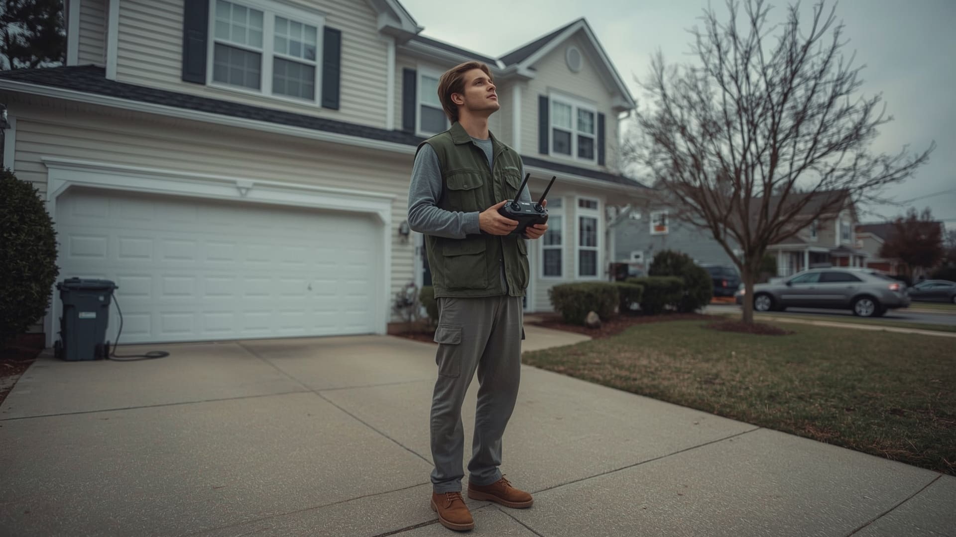
Quick Answer: A standard residential drone shoot in Raleigh takes 1 to 2 hours on-site. The operator captures exterior stills, aerial video passes, and elevation shots. Edited deliverables arrive within 24 to 48 hours and include high-resolution JPEGs and a video file ready for MLS upload.
Most shoots begin with a brief walkthrough of the property. The operator identifies key features to highlight: the pool, the deck, the garage, the landscaping, or a view. Then the drone goes up.
For a standard single-family home, the operator typically captures:
- 5 to 10 aerial still photos from multiple angles and altitudes
- A cinematic video flyover (30 to 90 seconds edited)
- Elevation shots showing the full front and rear facade
- Neighborhood context shots showing proximity to roads, green space, or water
Weather is the biggest variable in Raleigh. Wind speeds above 20 mph, rain, and low-visibility fog all ground drones. Most professional operators include a weather rescheduling policy at no additional cost. Book your shoot with at least 3 to 5 days of lead time so rescheduling doesn’t delay your listing date.
Field Experience
On a recent shoot in Raleigh, we arrived at a listing in North Hills to find four cars parked in the driveway and yard waste bags lining the front sidewalk. The listing agent hadn’t prepped the sellers. We waited 20 minutes while the homeowner moved the cars, but the trash bags were picked up the next day, forcing a return visit. That delay pushed the listing back by two days in a market where homes were going under contract in 48 hours. A simple pre-shoot checklist sent to the seller the day before would have prevented the entire issue.
How Should You Prepare Your Property for a Drone Photography Session?
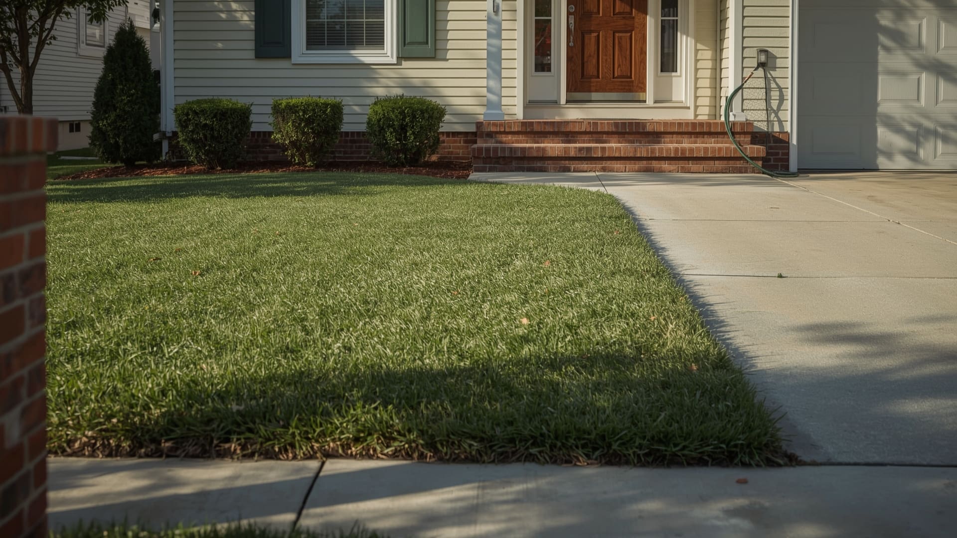
Quick Answer: Before a drone shoot, remove cars from the driveway, clear yard debris, put away outdoor furniture clutter, clean gutters, and mow the lawn. These steps take less than an hour and directly improve the quality of every aerial image captured.
Drone cameras see everything. Clutter that blends into the background at eye level stands out sharply from above. A few minutes of prep makes a real difference in the final shots.
Pre-shoot property checklist:
- Mow and edge the lawn within 2 days of the shoot
- Remove all vehicles from driveway and street frontage
- Clear trash bins, yard bags, and garden hoses
- Put away children’s toys and outdoor equipment
- Trim any dead or overgrown shrubs near the front entrance
- Clean pool water (green tint photographs poorly)
- Close garage doors unless showing interior depth is intentional
- Turn on exterior lights for twilight shoots
For listings with community amenities nearby, such as a neighborhood park, greenway, or pool, mention this to your operator in advance. They can capture those assets in the same session to strengthen the location story.
What Does Real Estate Drone Photography Cost in Raleigh NC?
Quick Answer: Real estate drone photography in Raleigh typically costs $150 to $500 for a standard residential package. Pricing depends on property size, deliverables requested, and whether the package includes video. Luxury and large-lot properties may cost more.
| Package Type | Typical Price Range | Deliverables | Best For |
|---|---|---|---|
| Aerial Photos Only | $150 to $250 | 8 to 15 edited JPEGs | Entry-level listings, townhomes |
| Photos + Video | $300 to $450 | 10 to 20 photos, 60-second video | Mid-range single-family homes |
| Premium Package | $450 to $700 | 20+ photos, cinematic video, twilight shots | Luxury homes, large lots |
| Virtual Tour Add-On | $100 to $200 additional | 360-degree aerial integration | Out-of-state buyer markets |
Price is rarely the right metric to optimize on when marketing a $500,000+ home. A $350 drone package that gets three more serious showings pays for itself many times over. You can review current drone photography pricing options to find a package that fits your listing budget.
Which Raleigh Neighborhoods Benefit Most from Drone Photography?
Quick Answer: Neighborhoods with large lots, natural features, or community amenities benefit most from drone photography. In Raleigh, this includes North Hills, Brier Creek, Falls Lake areas, Apex, Cary, and waterfront or wooded properties throughout Wake County.
Not every home benefits equally from aerial coverage. A downtown condo on the 4th floor has no lot to show. A half-acre wooded property in Apex has everything to gain. Here’s how different Raleigh-area property types compare:
| Property Type | Drone Value | Key Visual Assets | Raleigh Examples |
|---|---|---|---|
| Large Suburban Lots | Very High | Acreage, privacy, tree coverage | Apex, Fuquay-Varina, Wendell |
| Luxury Homes | Very High | Pool, outdoor kitchen, roofline detail | North Hills, Governors Club |
| New Construction | High | Community context, lot placement | Cary, Morrisville, Clayton |
| Waterfront/Lake Property | Very High | Water access, dock, shoreline | Falls Lake, Jordan Lake areas |
| Townhomes / Condos | Moderate | Community amenities, location context | Downtown Raleigh, Brier Creek |
If your listing is in Cary or the surrounding suburbs, our drone services in Cary NC cover the full range of residential and new construction properties in that market.
What Equipment Do Professional Drone Photographers Use for Real Estate?
Quick Answer: Professional real estate drone operators use DJI Mavic 3 Pro or DJI Air 3 drones with 4K cameras, mechanical shutters, and stabilized gimbals. These produce sharp, color-accurate images at resolutions high enough for large-format printing and MLS use.
| Equipment | Model / Type | Resolution | Key Feature |
|---|---|---|---|
| Primary Drone | DJI Mavic 3 Pro | 20MP / 5.1K video | Triple-camera, Hasselblad color |
| Backup / Compact | DJI Air 3 | 50MP / 4K video | Dual-camera, omnidirectional sensing |
| Editing Software | Adobe Lightroom / Premiere | N/A | Color grading, exposure correction |
| Delivery Format | JPEG + MP4 | MLS-ready file sizes | Web-optimized and print-ready |
Equipment quality matters because real estate photography is often viewed on large monitors and high-resolution screens. A low-resolution drone shot blown up to banner size looks poor and reflects negatively on the listing presentation. Reputable operators use professional-grade equipment and deliver files in formats your MLS, website, and print vendors can all use without conversion issues.
How Do You Choose the Right Drone Photography Company in Raleigh?
Quick Answer: Choose a Raleigh drone company that holds FAA Part 107 certification, carries drone liability insurance, has a real estate portfolio you can review, and offers a clear turnaround time. Avoid operators who cannot show proof of FAA licensing before the shoot.
There are a few non-negotiable criteria when evaluating providers:
- FAA Part 107 Certificate: Ask for the certificate number. You can verify it on the FAA DroneZone website.
- Liability Insurance: Minimum $1 million general liability is standard for professional operators.
- Portfolio of Real Estate Work: Look for listings similar to yours in terms of price point and property type.
- Turnaround Time: 24 to 48 hours is standard. Longer than 72 hours can delay listings.
- Rescheduling Policy: Weather in Raleigh is unpredictable. Confirm the rescheduling terms before booking.
- Local Knowledge: Operators familiar with Raleigh airspace handle LAANC authorization faster and avoid compliance issues.
Our real estate drone services are built specifically for the Raleigh market, with local airspace expertise and a portfolio of residential and luxury listings across Wake County.
What Aerial Shots Create the Strongest Real Estate Listings?
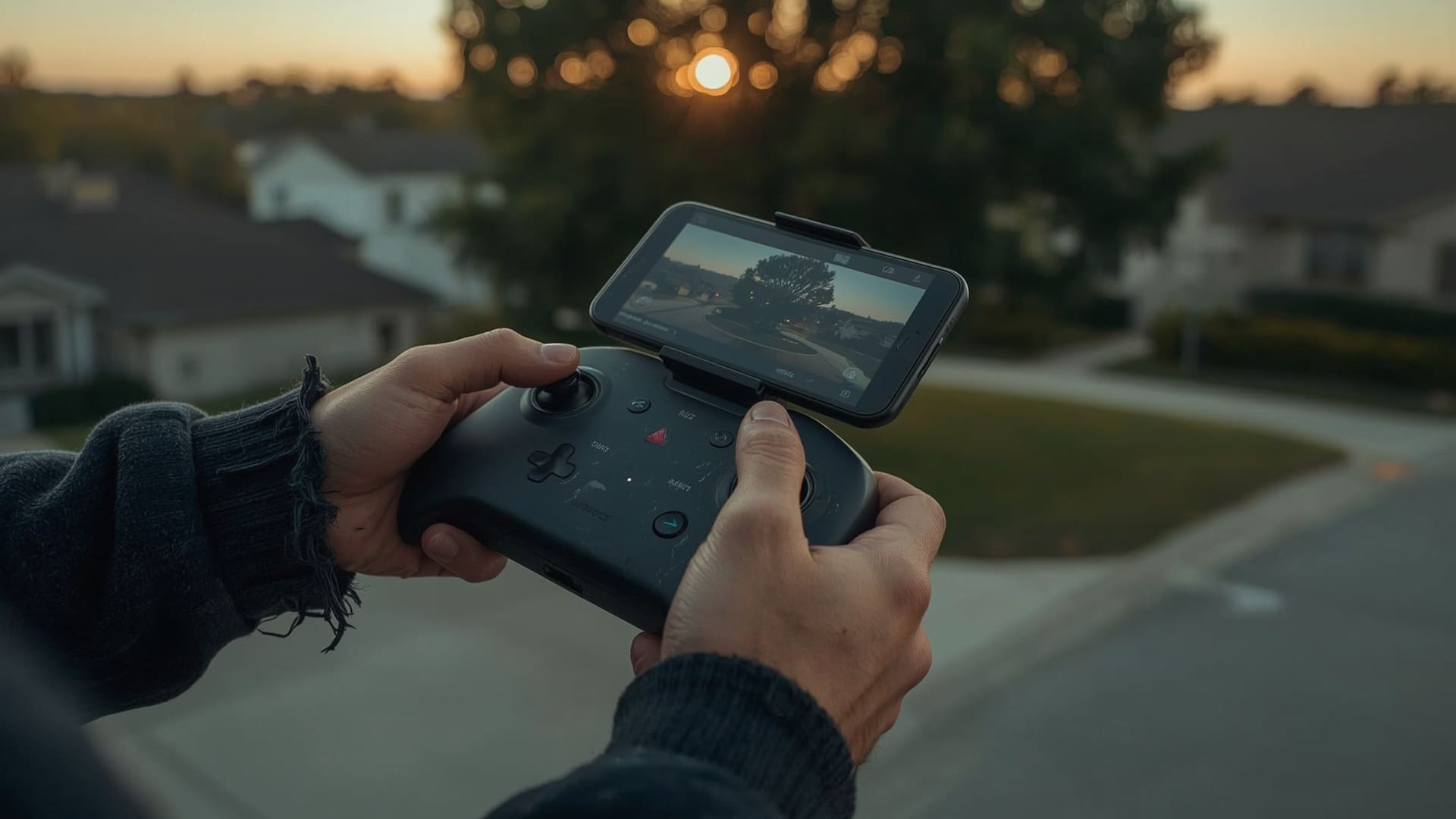
Quick Answer: The most effective aerial real estate shots are the bird’s-eye overhead view, the 45-degree angle facade shot, the slow orbit video, and the neighborhood context pull-back. These four shot types together tell a complete visual story about the property and its location.
Bird’s-Eye Overhead View
This shot looks straight down at the roof and yard. It shows the true footprint of the home, the relationship between the house and the lot, and any features like pools, patios, or detached garages. It’s the most used aerial shot in Raleigh MLS listings.
45-Degree Angle Facade Shot
This is the signature “hero shot” for most listings. The drone hovers at 45 degrees above the front of the home, capturing the roof, the landscaping, the driveway, and the street in one frame. It feels like a magazine cover and loads quickly on mobile devices.
Slow Orbit Video Pass
The drone circles the property at a consistent altitude while the camera stays locked on the home. This 20 to 30 second pass, used as a social media clip or embedded in a listing page, gives buyers the feeling of flying around the property themselves.
Neighborhood Pull-Back
Starting close to the property, the drone slowly ascends and flies backward, revealing the street, neighborhood, and surrounding area. This shot answers location questions immediately and works especially well for properties near parks, golf courses, or water features common in the Raleigh suburbs.
Are There Restrictions on Drone Photography Over Residential Areas in Raleigh?
Quick Answer: Drones can legally fly over residential areas in Raleigh as long as the operator holds FAA Part 107 certification, stays below 400 feet, avoids flying over uninvolved people, and obtains LAANC authorization if the property falls within controlled airspace near RDU.
North Carolina does not have a blanket state law banning drone photography over private residential property when operated by a licensed commercial pilot. However, operators must follow all FAA rules. Flying without a Part 107 certificate for commercial work is a federal violation.
Homeowners in HOA-managed communities sometimes ask about restrictions. HOAs can limit drone use on their common property, but they cannot override FAA airspace rules. A licensed operator flying at altitude over a neighborhood is operating legally regardless of HOA preferences, provided FAA rules are followed.
Privacy is a related concern some sellers raise. Professional real estate drone operators focus their cameras on the subject property. Capturing footage of neighboring homes, pools, or yards is unnecessary for listing purposes and is something reputable operators actively avoid.
How Does Drone Photography Compare to Traditional Real Estate Photography?
Quick Answer: Traditional photography captures interiors and ground-level exteriors. Drone photography adds aerial perspective, showing lot size, outdoor features, and neighborhood context. The two are complementary — most competitive Raleigh listings use both.
| Attribute | Traditional Photography | Drone Photography |
|---|---|---|
| Interior Coverage | Full coverage | Not applicable |
| Lot Size Visibility | Limited | Full overhead view |
| Neighborhood Context | Street-level only | Full aerial context |
| Typical Cost | $100 to $300 | $150 to $500+ |
| MLS Requirement | Required | Supplemental |
| Social Media Impact | Moderate | High (video performs best) |
The strongest listing packages combine both. Interior photos handle the rooms, kitchen, and bathrooms. Drone content handles everything outside and around the home. Together, they give a buyer a nearly complete picture of the property before stepping foot inside.
If you want to see how aerial and ground photography work together on real listings, the drone photography portfolio includes full case examples from properties across the Raleigh-Durham market.
What Are the Most Common Questions About Drone Photography for Real Estate Listings?
Frequently Asked Questions
Does drone photography require the homeowner’s permission?
Yes. The listing agent or operator should always notify the property owner and confirm they are comfortable with aerial photography before the shoot. This is both a professional standard and a practical step for managing the shoot day effectively.
Can drones fly in all Raleigh neighborhoods?
Most Raleigh neighborhoods are within uncontrolled airspace and require no special authorization. Properties near RDU International Airport, military installations, or certain stadiums may require LAANC authorization or fall within restricted zones. A licensed operator will check airspace maps before confirming your booking.
How long does it take to get edited drone photos back?
Standard turnaround is 24 to 48 hours from the shoot date. Rush delivery, typically within 12 to 24 hours, is available from most providers for an additional fee of $50 to $100.
What happens if weather causes the drone shoot to be cancelled?
Professional operators reschedule at no charge when weather prevents a safe flight. High wind, rain, and heavy overcast conditions are the most common causes. Always confirm the rescheduling policy in writing before booking, especially when working with a tight listing timeline.
Do MLS platforms accept drone photos and video?
Yes. Triangle MLS (TMLS), which covers Raleigh and Wake County, accepts high-resolution aerial images as standard listing photos. Video files are typically linked via YouTube or embedded player rather than uploaded directly.
Is drone photography worth it for homes under $300,000?
It depends on the lot. A $280,000 home on a large wooded lot in Knightdale or a townhome with a rooftop view can benefit strongly from aerial photography. A $290,000 condo with no outdoor space may not. Talk to your operator about the specific property before deciding.