When you’re planning a survey for a construction site, land development, or infrastructure project in North Carolina, one question always comes up early: should you go with drone-based aerial mapping or traditional ground surveying? The aerial mapping vs traditional surveying cost comparison isn’t just about the day-rate. It comes down to site size, turnaround time, accuracy requirements, and what deliverables you actually need.
This guide breaks down both methods side by side so you can make an informed decision before you hire anyone.
Key Takeaways
- Aerial mapping is faster and cheaper at scale — drone surveys can cover 100+ acres in a single day versus days of ground crew work.
- Traditional surveying wins on legal accuracy — boundary surveys and property line determinations still require licensed land surveyors under NC law.
- Cost per acre drops sharply with drones — traditional surveying runs $500–$2,500 per acre for topographic work; aerial mapping runs $75–$350 per acre.
- Deliverables differ significantly — aerial mapping produces orthomosaic maps, 3D models, and point clouds; traditional surveying produces stamped plats and legal boundary documents.
- Accuracy tolerances overlap for many use cases — modern drone surveys with ground control points achieve 1–3 cm horizontal accuracy, which meets most construction and engineering tolerances.
- Hybrid approaches are common — many NC contractors use drone mapping for site monitoring and topography while using licensed surveyors for legal boundary work.
What Does Aerial Mapping Actually Cost Per Project?
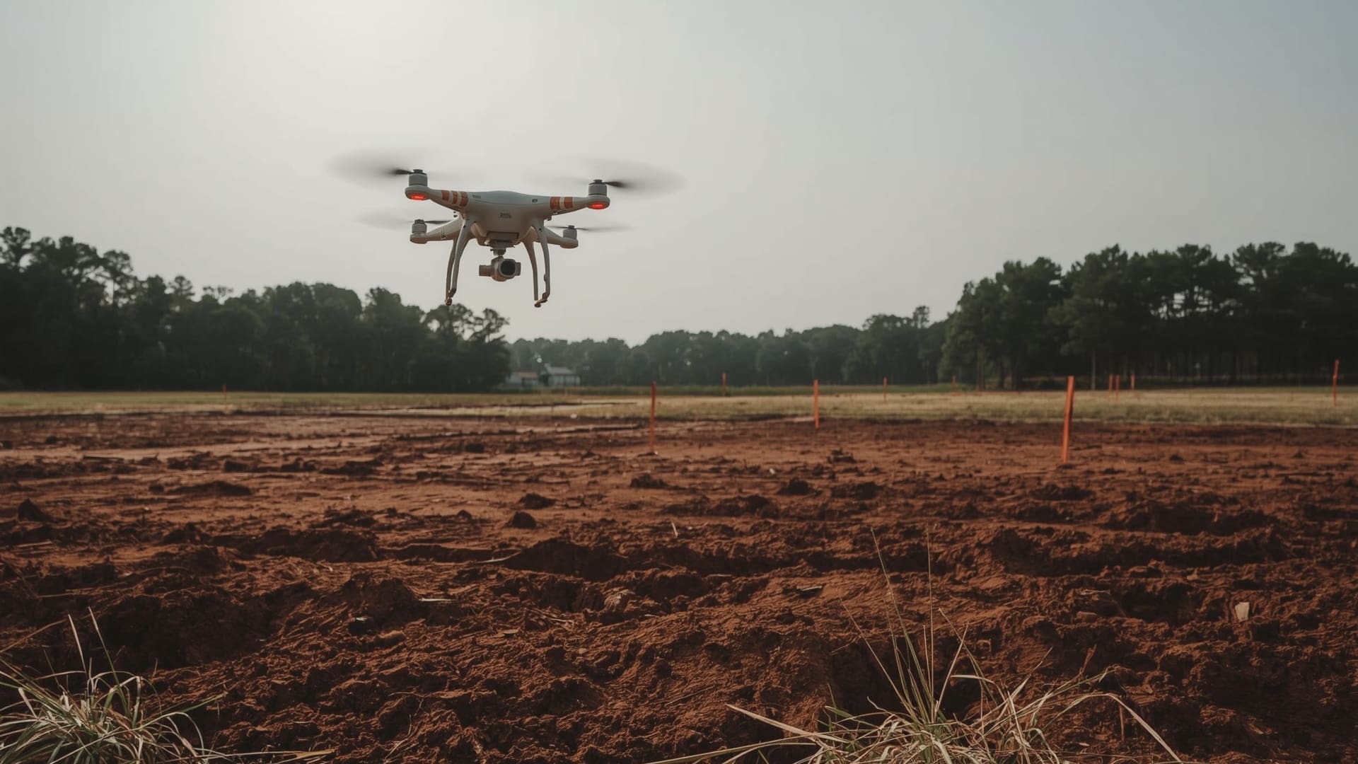
Quick Answer: Aerial mapping typically costs $500–$5,000 for most commercial projects, with per-acre rates ranging from $75 to $350 depending on site complexity, deliverable type, and ground control point requirements. Large sites over 50 acres see the biggest savings.
Drone-based aerial mapping pricing is driven by a few key variables: site acreage, required accuracy, number of ground control points (GCPs), and the type of output you need. A basic orthomosaic map of a 10-acre parcel will cost far less than a high-accuracy point cloud with full 3D modeling for a 200-acre grading project.
Most aerial mapping providers charge either a flat project rate or a per-acre rate. Flat rates work well for smaller sites. Per-acre pricing scales better for larger parcels. You’ll also see mobilization fees on projects far outside a provider’s home service area, which matters for NC clients in rural counties.
| Project Type | Typical Acreage | Aerial Mapping Cost | Turnaround Time |
|---|---|---|---|
| Small residential lot | 0.5–2 acres | $350–$800 | 1–2 business days |
| Commercial site plan | 5–25 acres | $800–$2,500 | 2–4 business days |
| Subdivision development | 25–100 acres | $2,000–$6,000 | 3–5 business days |
| Large infrastructure corridor | 100–500 acres | $5,000–$18,000 | 5–10 business days |
| Mining or stockpile volume | 10–50 acres | $1,200–$3,500 | 2–3 business days |
For projects requiring professional aerial mapping and surveying services, the deliverable package matters as much as the flight itself. Point clouds and digital elevation models (DEMs) take more processing time than basic orthomosaic photos, so factor that into your timeline planning.
What Does Traditional Ground Surveying Cost for the Same Projects?
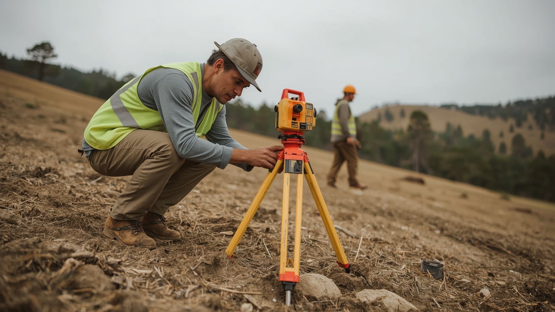
Quick Answer: Traditional surveying costs $1,000–$10,000+ for most commercial topographic projects, with licensed surveyors billing $100–$200 per hour plus crew costs. Boundary surveys in NC typically run $500–$2,000 for standard residential lots.
Traditional surveying costs break into three buckets: field time, equipment use, and office processing. A two-person survey crew in North Carolina typically bills out at $150–$300 per hour combined. A project that takes four days in the field easily reaches $5,000–$9,000 before any office work.
Topographic surveys — the most common comparison point with drone mapping — are especially labor-intensive on large parcels. Every elevation point requires a crew member physically walking the site and recording measurements. Dense vegetation, slopes, and wetland areas slow down field collection significantly.
| Survey Type | Average Cost (NC) | Field Time | Typical Use Case |
|---|---|---|---|
| Boundary survey (residential) | $500–$2,000 | 0.5–2 days | Property purchase, disputes |
| Topographic survey (5–10 acres) | $2,500–$6,000 | 1–3 days | Site grading, drainage design |
| Topographic survey (25–50 acres) | $8,000–$20,000 | 3–7 days | Subdivision planning |
| ALTA/NSPS land title survey | $3,000–$12,000 | 2–5 days | Commercial real estate transactions |
| Construction staking | $1,500–$5,000 | 1–3 days | Building footprint, utilities |
These costs don’t include rushed turnaround fees. If you need results in 48 hours, most licensed surveying firms charge a 25–50% premium. That’s a real budget factor on fast-moving development timelines.
How Does Accuracy Compare Between Drone Surveys and Ground Surveys?
Quick Answer: Ground surveys achieve 1–5 mm accuracy using total stations and GPS equipment. Drone surveys with properly placed ground control points reach 1–3 cm horizontal and 3–5 cm vertical accuracy. For grading and earthwork, drone accuracy is fully sufficient.
Accuracy is the first objection most engineers raise when drone mapping comes up. It’s a fair concern. But the gap between aerial and ground survey accuracy has narrowed dramatically as sensor technology and photogrammetry software have improved.
The key variable is ground control points (GCPs). These are physical markers placed on the ground before flight, then measured with high-precision GPS. When processed correctly, a drone survey with 5–10 GCPs per 50 acres can achieve horizontal accuracy within 1–3 centimeters. That’s more than adequate for topographic mapping, site design, volume calculations, and construction progress monitoring.
Where ground surveying still holds the edge is in absolute precision for legal and boundary applications. Setting property corners, placing stakes for legal descriptions, and producing a stamped plat require a licensed professional land surveyor (PLS) under North Carolina General Statute Chapter 89C, which governs the practice of land surveying in the state. A drone flight alone cannot replace that legal requirement.
| Accuracy Metric | Drone Survey (with GCPs) | Traditional Ground Survey | Acceptable For |
|---|---|---|---|
| Horizontal accuracy | 1–3 cm | 1–5 mm | Construction, engineering design |
| Vertical accuracy | 3–5 cm | 2–10 mm | Grading, drainage, earthwork |
| Point cloud density | 100–500 pts/m² | 1–10 pts/m² | 3D modeling, terrain analysis |
| Legal boundary determination | Not applicable | Full capability | Plats, deeds, title insurance |
| Vegetation penetration | Limited (LiDAR improves this) | Full ground access | Forested terrain |
How Much Time Does Each Method Take on a Typical NC Job Site?
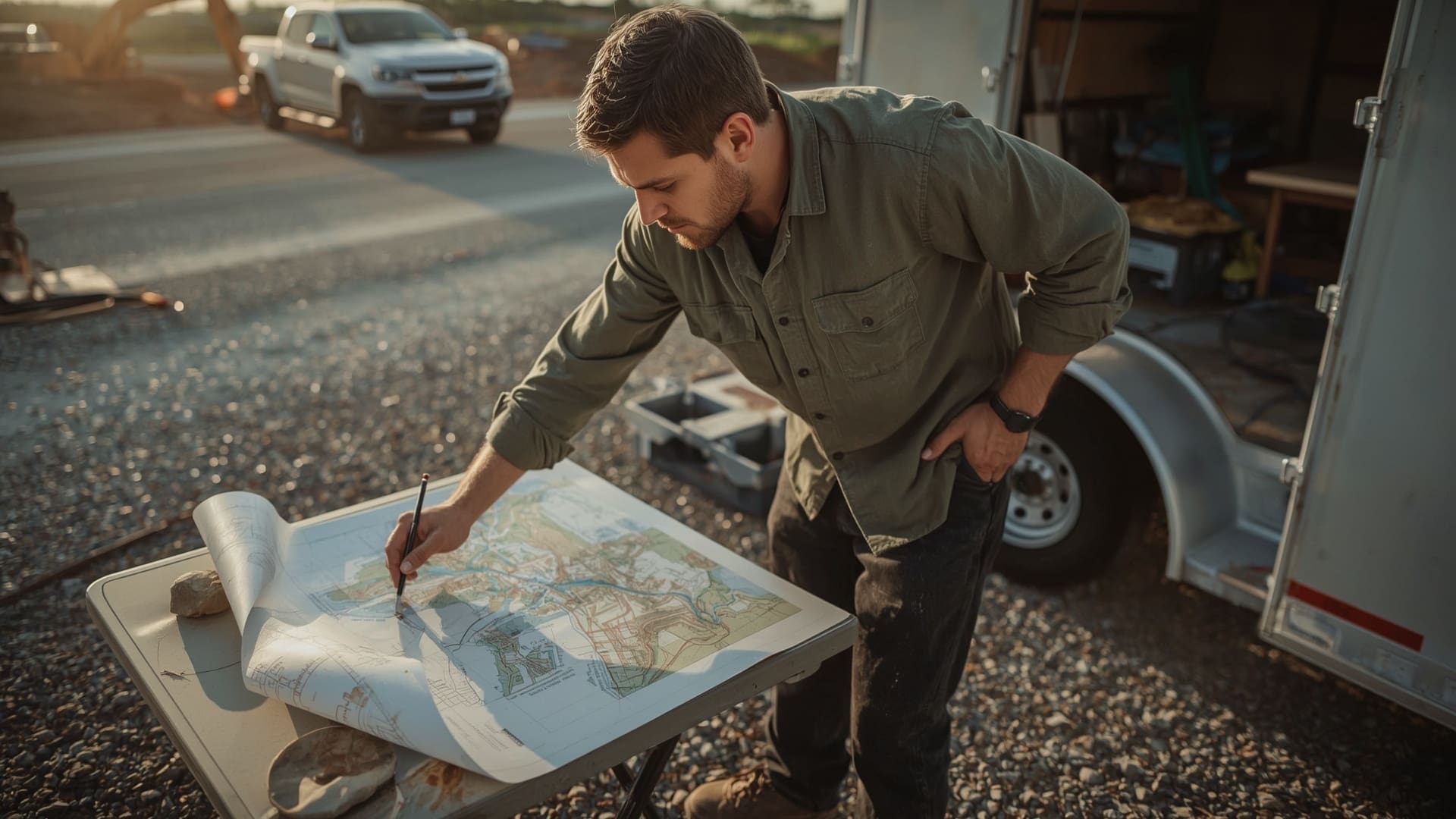
Quick Answer: Drone surveys take 2–6 hours in the field for most sites under 200 acres, with processed deliverables ready in 1–5 days. Traditional surveying takes 1–7 days in the field for the same sites, with office processing adding another 1–3 weeks.
Time savings are one of the most concrete advantages aerial mapping offers. A drone can cover 200 acres in a single flight mission. A ground crew covering the same area with a total station and rod person takes days. That difference has a direct dollar value when your project is on a tight construction schedule.
Processing time matters too. Traditional survey field data goes through CAD drafting and office processing, which typically takes 1–3 weeks for large topographic jobs. Drone photogrammetry software like Pix4D or DJI Terra processes raw imagery into orthomosaics, DEMs, and point clouds within 24–72 hours after the flight.
Field Experience
On a recent site assessment in Raleigh, a general contractor needed updated topographic data for a 75-acre mixed-use development after heavy rain changed site grades. A traditional survey crew estimated 4 days in the field and a 2-week processing timeline. The drone mapping flight was completed in one morning, and the updated DEM and orthomosaic were delivered within 48 hours — allowing the civil engineer to revise drainage plans without delaying the grading subcontractor’s mobilization.
Scheduling and Weather Flexibility
Weather affects both methods, but differently. Ground survey crews can work in light rain with the right equipment. Drone flights require clear skies and wind speeds below 25 mph. However, drone flights can be rescheduled and completed in a single day once conditions clear. A traditional survey interrupted by weather may lose full days of paid crew time before the project can resume.
Repeat Surveys and Progress Monitoring
Aerial mapping has a major cost advantage when you need repeat surveys over time. Construction sites often need monthly progress monitoring. Flying the same site repeatedly costs the same per-flight rate each time. Traditional surveying costs the same full rate for every repeat visit. Over a 12-month construction project with monthly surveys, that difference can reach $30,000–$60,000 on a large site.
What Deliverables Do You Get With Each Method?
Quick Answer: Drone mapping delivers orthomosaic maps, digital elevation models, 3D point clouds, and contour maps. Traditional surveying delivers stamped plats, legal descriptions, construction staking, and certified boundary data. The formats serve different downstream uses.
The deliverable comparison is where most clients make or break their method choice. The formats are genuinely different, and your project’s downstream needs should drive the decision.
Drone deliverables are digital-first. They integrate directly into CAD software, GIS platforms, and BIM models. Orthomosaic maps are georeferenced photo mosaics accurate enough for engineering overlays. Point clouds feed directly into software like AutoCAD Civil 3D, ArcGIS, or Revit for design work. A licensed surveyor can then use drone-derived data as a base layer for more targeted ground work.
Traditional surveying deliverables are legal documents. A stamped plat is the official record of property boundaries filed with the county register of deeds. Construction staking sets physical monuments that crews use on-site. These outputs have legal standing that drone data alone does not provide.
| Deliverable | Aerial Mapping | Traditional Surveying | Primary User |
|---|---|---|---|
| Orthomosaic map | Yes | No | Engineers, planners, owners |
| Digital elevation model (DEM) | Yes | Sometimes | Civil engineers, graders |
| 3D point cloud | Yes | With LiDAR only | BIM, structural, utilities |
| Stamped boundary plat | No | Yes | Title, lenders, attorneys |
| Construction staking | No | Yes | Contractors, builders |
| Volume calculations | Yes (±1–2%) | Yes (±0.5–1%) | Earthwork contractors, quarries |
In What Scenarios Does Aerial Mapping Clearly Win on Cost?
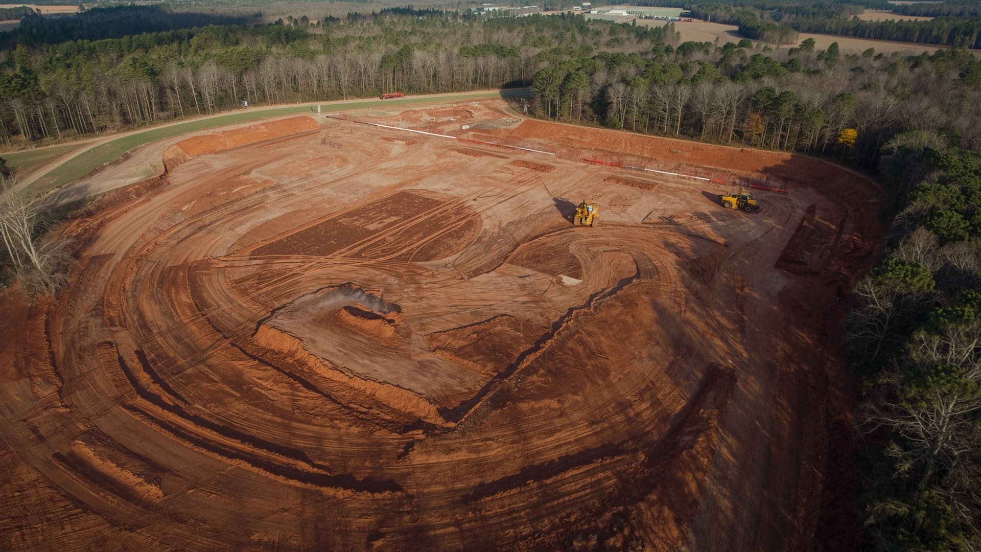
Quick Answer: Aerial mapping wins on cost for large-acreage topographic surveys, repeat construction monitoring, stockpile volume tracking, and site documentation. Any project over 10 acres where legal boundary work is not required will typically save 40–70% using drone mapping.
The economics of aerial mapping favor large, open, and frequently surveyed sites. Here are the scenarios where the cost advantage is most pronounced.
Large-Scale Topographic Mapping
A 100-acre site survey using traditional methods can run $15,000–$30,000 in crew time alone. The same site mapped by drone with GCPs typically costs $4,000–$8,000 and produces denser data in the process. The savings come directly from eliminating crew-hours in the field.
Construction Progress Monitoring
Monthly or bi-weekly site flyovers let project managers track earthwork volumes, verify contractor progress, and document as-built conditions. Each flight costs $500–$2,000 depending on site size. The same data collected by a ground crew would cost 5–10 times more per visit. Our drone construction services are designed specifically for this type of repeat monitoring workflow.
Stockpile and Earthwork Volume Calculations
Quarries, aggregate yards, and grading contractors use drone mapping to measure material volumes. A drone survey calculates volumes within 1–2% accuracy in a few hours. Traditional cross-section surveys for the same stockpile take a full day and cost significantly more. Research consistently shows that drone-based volume measurement reduces survey costs by 50–80% compared to conventional methods on active mining and grading sites.
Corridor and Linear Infrastructure Projects
Pipelines, roads, and transmission lines often span miles of terrain. Flying a 10-mile corridor takes a few hours. Walking and shooting it with traditional survey equipment takes days. Drone corridor mapping in North Carolina typically runs $3,000–$10,000 for a 5-mile corridor; traditional methods for the same run $15,000–$40,000.
When Does Traditional Surveying Win on Value?
Quick Answer: Traditional surveying is required for legal boundary determination, property corner setting, ALTA surveys, and any work requiring a licensed professional land surveyor’s stamp under NC law. No drone survey can legally replace these services.
There’s no workaround for the legal requirements. If you’re buying or selling land in North Carolina, financing a commercial property, resolving a boundary dispute, or subdividing a parcel, you need a licensed professional land surveyor. The law requires a PLS stamp on the final document, and a drone operator cannot provide that.
Small Sites Under 5 Acres
On small sites, the mobilization cost of setting up a drone mission with GCPs can approach the cost of a ground survey. For a 1-acre infill lot needing a simple topographic survey, a traditional survey crew is often faster and similarly priced. The drone cost advantage scales with acreage.
Heavily Wooded Terrain
Dense tree canopy in areas like the NC Piedmont or Western NC mountains limits photogrammetry accuracy. A camera-based drone survey cannot see the ground through thick tree cover. LiDAR drones partially solve this problem by using laser pulses that penetrate vegetation gaps, but LiDAR surveys cost significantly more than camera-based aerial mapping and may approach traditional survey pricing on wooded sites.
Projects Requiring Legal Certification
Any deliverable that requires a professional engineer or licensed surveyor’s certification must go through licensed professionals. Drone data can support and accelerate the process, but the final stamped product still requires human professional review and signature.
What Is the Full Aerial Mapping vs Traditional Surveying Cost Comparison for NC Projects?
Quick Answer: For topographic work, drone mapping saves 40–70% on sites over 10 acres. For legal boundary surveys, traditional surveying is the only option. Most NC development projects use both: drones for topography and monitoring, licensed surveyors for legal boundary and staking work.
Putting the full picture together, the smartest approach for most North Carolina development projects is a hybrid model. Use aerial mapping for everything it does better — topography, site monitoring, volume calculations, and documentation. Use a licensed surveyor for legal boundary work and construction staking where certification is required.
This hybrid approach captures the cost savings where they’re greatest while maintaining legal compliance where it’s required. A developer building a 50-unit subdivision in Wake County might spend $3,000–$5,000 on drone topographic mapping and $8,000–$15,000 on boundary surveying and staking — versus $18,000–$35,000 if traditional surveying handled the entire topographic scope as well.
The Federal Aviation Administration requires all commercial drone operators to hold an FAA Part 107 Remote Pilot Certificate to conduct commercial mapping flights. Always verify your aerial mapping provider holds this certification before signing a contract.
Hidden Costs to Watch for on Both Sides
- GCP placement fees: If your drone provider charges separately for GCP setup and GPS measurement, expect $200–$800 added to the base mapping rate.
- Deliverable file formats: Some providers charge extra for specific file exports (LAS point clouds, DXF contours). Confirm formats are included upfront.
- Rush fees: Both methods charge 25–50% premiums for expedited turnaround under 48 hours.
- Site access coordination: Remote sites requiring permits or utility notifications add $200–$500 regardless of method.
- Revision cycles: Traditional surveyors typically include one revision round. Drone providers vary — clarify before signing.
Choosing the Right Provider in North Carolina
When evaluating providers, look for FAA Part 107 certification for drone operators and a NC Professional Land Surveyor license for boundary work. Ask for sample deliverables from similar projects. For drone mapping, ask specifically about GCP workflow, accuracy specifications, and processing software. For traditional surveying, ask about crew experience with your project type and typical turnaround times for your county.
If you’re looking for aerial mapping coverage across the Research Triangle, our drone services serving Raleigh and surrounding areas cover Wake, Durham, Orange, Johnston, and Chatham counties with next-day scheduling availability.
Frequently Asked Questions About Aerial Mapping vs Surveying Costs
Can a drone survey replace a licensed land survey in North Carolina?
No. North Carolina law requires a licensed professional land surveyor (PLS) to sign and seal any survey used for legal boundary determination, subdivision plats, or property line disputes. Drone mapping produces highly accurate topographic data, but it does not carry the legal authority of a stamped survey document.
How accurate is drone mapping for construction grading projects?
Drone surveys using ground control points typically achieve 1–3 cm horizontal accuracy and 3–5 cm vertical accuracy. For most construction grading and earthwork design, that level of accuracy fully meets engineering tolerances. LiDAR drones can achieve tighter tolerances in challenging terrain.
What is a ground control point and why does it affect cost?
A ground control point (GCP) is a physical marker placed on the ground before a drone flight, then measured with a high-precision GPS unit. GCPs anchor the aerial data to real-world coordinates, improving accuracy significantly. Adding GCPs to a drone survey typically adds $200–$800 to the project cost but is usually worth it for engineering-grade accuracy.
How often do construction sites in NC use repeat drone surveys?
Most active construction sites use monthly drone surveys for progress monitoring and earthwork verification. Some large grading projects fly bi-weekly. The repeat cost structure of drone mapping is much more budget-friendly than traditional survey crews for ongoing monitoring needs.
Does vegetation affect drone survey accuracy in North Carolina?
Yes. Photogrammetry-based drone surveys (camera-based) struggle to capture ground elevations under dense tree canopy. North Carolina’s forested areas in the Piedmont and western counties can limit accuracy in wooded zones. LiDAR drone systems partially address this, but forested site surveys often still benefit from supplemental ground measurements.
What software processes drone survey data into usable deliverables?
The most common photogrammetry platforms are Pix4D, Agisoft Metashape, and DJI Terra. These tools process raw aerial imagery into orthomosaics, DEMs, and point clouds. Output files export as GeoTIFF, LAS, DXF, or KML depending on the downstream use — civil design, GIS analysis, or visual documentation.