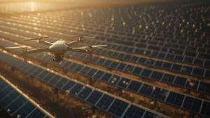
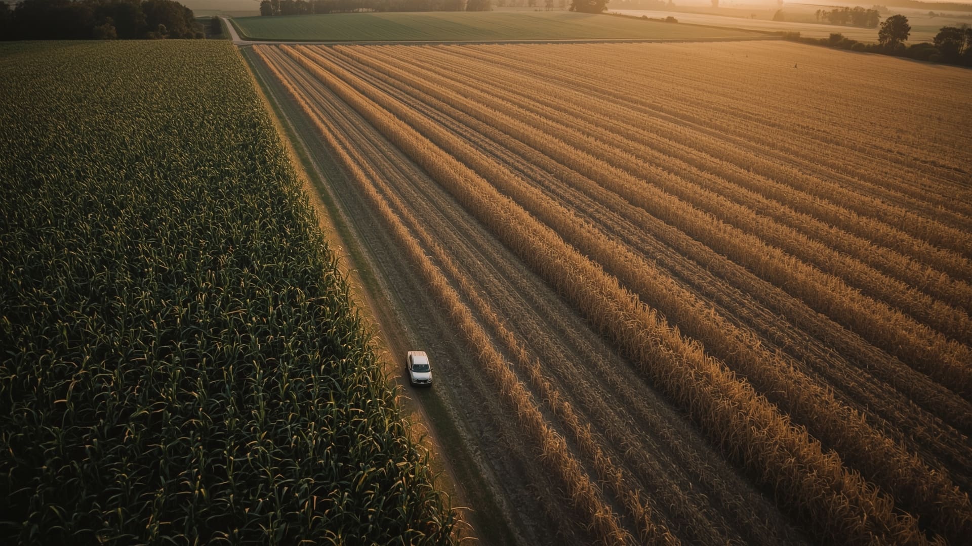
A crop scouting trip that takes two hours on foot takes eight minutes by drone. That time difference is where agriculture drone ROI starts — but it doesn’t stop there. From cutting fertilizer costs to catching disease before it spreads, drones are changing what precision farming looks like on a real budget.
This guide breaks down the actual numbers: what drones cost to operate, what they save, and what North Carolina farmers are seeing in yield and input cost improvements across corn, soybeans, and specialty crops.
Key Takeaways
- Input cost reductions are measurable — Precision application drones reduce fertilizer and pesticide use by 15–30% compared to broadcast methods.
- Early stress detection pays dividends — Catching crop stress 7–14 days earlier than visual scouting can prevent yield losses of 5–20% per affected acre.
- Payback periods vary by operation size — Most mid-size row crop operations (500–1,500 acres) reach ROI breakeven within 1–3 seasons.
- Service-based models lower barriers — Hiring a drone service provider eliminates capital costs and maintenance overhead for smaller operations.
- NC conditions create specific advantages — Humidity-driven fungal pressure and uneven terrain in eastern and Piedmont NC make early detection particularly valuable.
- Data quality drives ROI — Multispectral imagery and NDVI mapping (Normalized Difference Vegetation Index) produce actionable data; RGB photos alone often don’t.
What Is Agriculture Drone ROI and How Is It Calculated?
Quick Answer: Agriculture drone ROI measures the financial return of drone services against their total cost. It’s calculated by dividing net benefit (savings plus yield gains minus drone costs) by total drone investment, then multiplying by 100 to get a percentage.
ROI in agriculture isn’t purely about revenue. It includes avoided costs, which are often larger than yield gains. The formula looks like this:
ROI (%) = [(Total Savings + Yield Gain Value) − Total Drone Cost] ÷ Total Drone Cost × 100
Total drone cost includes equipment purchase or service fees, flight time, data processing, and any software subscriptions. Total savings include reduced chemical inputs, lower labor hours, and prevented crop loss.
What Counts as a “Return” in Agriculture Drone ROI?
Returns come from three areas. First, input savings — using fewer inputs per acre. Second, yield protection — catching problems before they reduce your harvest. Third, labor efficiency — fewer hours walking fields means more time managing the operation.
All three matter when comparing drone services to traditional scouting and broadcast application. The strongest ROI cases combine all three vectors.
How Much Do Agricultural Drones Cost to Operate Per Acre?
Quick Answer: Agricultural drone services typically cost $3–$12 per acre for imaging and scouting, and $12–$25 per acre for precision spray applications. Owning and operating a drone fleet adds $15,000–$80,000 in upfront capital plus annual maintenance costs of $2,000–$8,000.
| Cost Factor | Drone Service Provider | Owner-Operated (Mid-Size Fleet) |
|---|---|---|
| Upfront Capital | $0 | $15,000–$80,000 |
| Imaging Cost Per Acre | $3–$12 | $1–$4 (after breakeven) |
| Spray Application Per Acre | $12–$25 | $5–$12 (after breakeven) |
| Annual Maintenance | Included in service fee | $2,000–$8,000 |
| Software/Data Processing | Often included | $500–$3,600/year |
| Pilot Training and Certification | Not required | $500–$2,000 (Part 107) |
For operations under 500 acres, hiring a drone service provider almost always produces a better ROI than purchasing equipment. The capital cost simply doesn’t break even fast enough on smaller acreage.
What Is the Breakeven Acreage for Owning an Agriculture Drone?
The breakeven point for owning a spray drone is roughly 800–1,200 acres per season, assuming the drone is used for both scouting and application passes. Below that threshold, service contracts cost less per acre than ownership when depreciation is factored in.
What Input Costs Can Agricultural Drones Reduce?
Quick Answer: Drones reduce fertilizer costs by 10–20% and pesticide costs by 15–30% through variable-rate and zone-specific application. On a 1,000-acre corn operation spending $80 per acre on inputs, that’s $12,000–$24,000 in annual savings.
Fertilizer Application Savings
Drone-based NDVI mapping identifies low-performing zones in a field. Variable-rate application software uses that data to apply more fertilizer where crops are stressed and less where they aren’t. This is called variable-rate application (VRA).
Traditional broadcast fertilizer spreads the same rate across the entire field. You’re essentially overfertilizing productive zones and underfertilizing stressed areas. VRA corrects both problems at once.
| Crop | Typical N Rate (Broadcast) | Typical N Rate (VRA) | Estimated Savings Per Acre | Savings Per 1,000 Acres |
|---|---|---|---|---|
| Corn | 150–180 lbs N/acre | 120–155 lbs N/acre | $8–$22 | $8,000–$22,000 |
| Soybeans | 30–50 lbs N/acre | 20–40 lbs N/acre | $3–$10 | $3,000–$10,000 |
| Cotton | 60–90 lbs N/acre | 50–75 lbs N/acre | $5–$15 | $5,000–$15,000 |
| Sweet Potato (NC) | 100–150 lbs N/acre | 80–125 lbs N/acre | $7–$18 | $7,000–$18,000 |
Pesticide and Fungicide Cost Reduction
Drone spray systems can cut pesticide volumes by 15–30% compared to traditional boom sprayers. Two factors drive this. First, drones use ultra-low-volume nozzles that deliver smaller droplets with better canopy penetration. Second, targeted application means you only spray problem zones rather than entire fields.
For a North Carolina soybean farmer spending $35 per acre on fungicide passes, a 20% reduction saves $7 per acre. Across 800 acres, that’s $5,600 per season from fungicide alone.
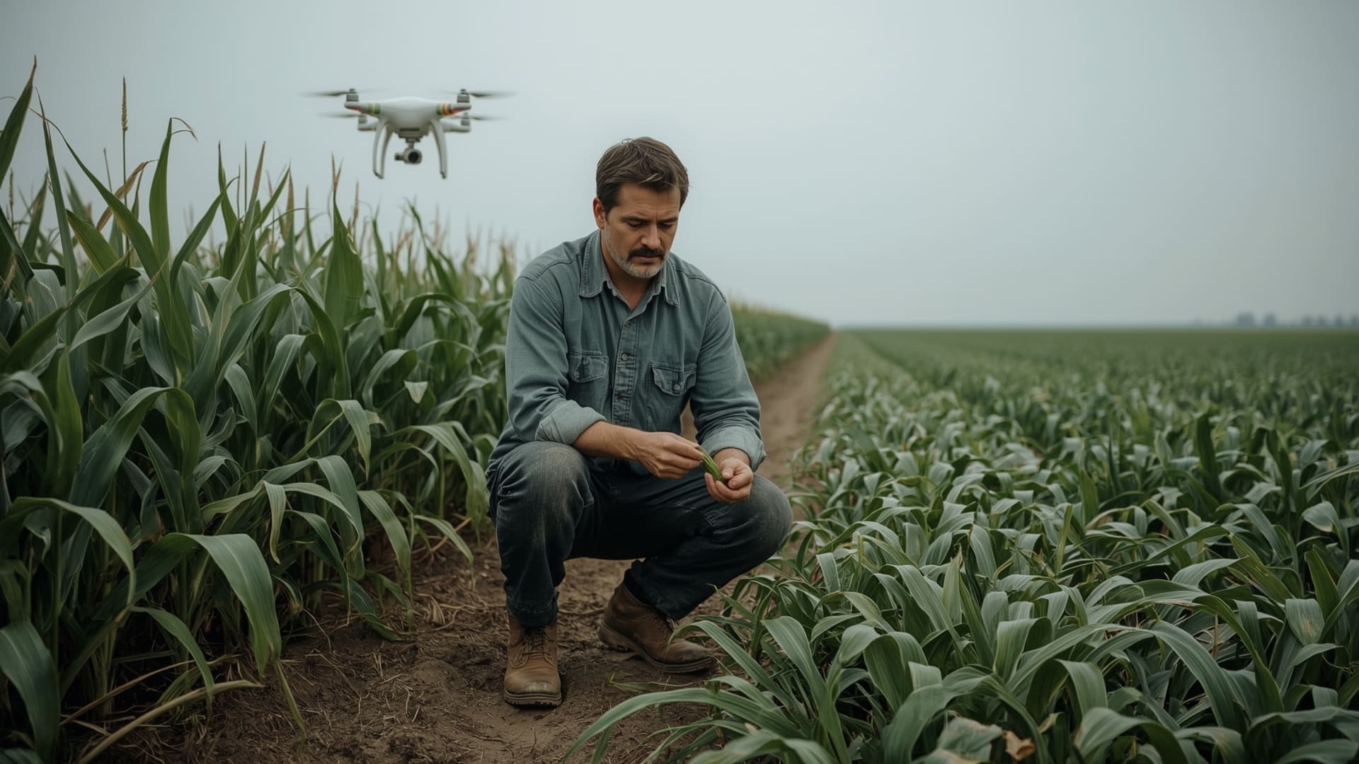
How Does Early Crop Stress Detection Create ROI?
Quick Answer: Drones with multispectral sensors detect crop stress 7–14 days before it’s visible to the human eye. Treating disease or nutrient deficiency that early can prevent yield losses of 5–20% per affected field, worth $30–$150 per acre depending on the crop.
What Can Drones Detect That Ground Scouting Misses?
Multispectral cameras capture light in wavelengths humans can’t see. Near-infrared (NIR) reflectance reveals plant cell health before leaves show yellowing or spotting. NDVI scores below 0.4 on a 0–1 scale typically indicate significant stress requiring attention.
Common problems detected early through drone imaging include:
- Fungal disease pressure (gray leaf spot, white mold, cercospora)
- Nitrogen deficiency showing in lower canopy layers
- Drainage-related stress in low spots
- Pest damage corridors (thrips, stink bugs, soybean aphids)
- Herbicide injury patterns from application overlap or drift
What Are Early Detection ROI Examples for NC Crops?
Gray leaf spot in NC corn can reduce yields by 10–30 bushels per acre if untreated at V8–VT stages. Catching it 10 days early allows a timely fungicide application instead of a rescue spray. At $5.20 per bushel corn, preventing 15 lost bushels per acre equals $78 in protected yield value per acre.
| Crop | Stressor | Detection Window (Drone vs. Visual) | Potential Yield Loss if Untreated | Protected Value Per Acre |
|---|---|---|---|---|
| Corn | Gray Leaf Spot | 7–12 days earlier | 10–30 bu/acre | $52–$156 |
| Soybeans | White Mold | 10–14 days earlier | 5–15 bu/acre | $60–$180 |
| Cotton | Bacterial Blight | 7–10 days earlier | 15–25% lint yield | $45–$75 |
| Sweet Potato | Fusarium Wilt | 10–16 days earlier | 20–40% marketable yield | $120–$240 |
| Tobacco | Black Shank | 8–14 days earlier | 10–35% per hot spot | $80–$280 |
These numbers use 2025–2026 USDA commodity price estimates and NC Cooperative Extension yield loss research. Your actual values depend on commodity prices at harvest and the severity of the event.
What Is a Realistic Agriculture Drone ROI for a 1,000-Acre NC Farm?
Quick Answer: A 1,000-acre corn and soybean operation in NC can expect $18,000–$45,000 in combined savings from drone use per season, including input reductions and yield protection. Against a $10,000–$15,000 annual service cost, that’s a 120–300% ROI.
ROI Scenario: 1,000-Acre Corn and Soybean Operation
| ROI Category | Conservative Estimate | Strong Estimate | Notes |
|---|---|---|---|
| Fertilizer Savings (VRA) | $5,500 | $14,000 | Based on 10–20% N reduction |
| Pesticide Savings | $4,000 | $9,000 | 15–25% volume reduction |
| Yield Loss Prevention | $6,000 | $20,000 | Early detection on 10–20% of acreage |
| Labor Savings (scouting) | $1,200 | $3,000 | At $18–$22/hr field labor rate |
| Total Annual Returns | $16,700 | $46,000 | |
| Drone Service Cost | $10,000 | $14,000 | $10–$14/acre for full-season service |
| Net ROI | $6,700 (67%) | $32,000 (229%) |
The conservative estimate assumes a single scouting event catches one treatable issue. The strong estimate assumes two scouting passes plus a precision spray application pass and VRA-guided fertilizer work. Most operations fall between those two outcomes.
How Do Drone Services Compare to Owning Your Own Drone?
Quick Answer: Drone service providers cost more per acre in the short term but eliminate capital risk, maintenance, and pilot certification requirements. For operations under 800 acres, service contracts produce a better net ROI. Larger operations above 1,500 acres often break even on ownership within 2–3 seasons.
Pros and Cons of Hiring vs. Owning
Hiring a service provider means you pay for results, not equipment. You don’t carry the depreciation risk if drone technology improves (and it does, quickly). You also avoid Part 107 certification requirements and FAA compliance management.
Owning equipment makes sense if you’re flying year-round, across multiple operations, or offering services to neighbors. The per-acre cost drops dramatically after breakeven, and you control your flight schedule.
What Should You Look for in an Agriculture Drone Service Provider?
Not all drone services produce usable agronomic data. Look for providers that deliver multispectral imagery with NDVI mapping, not just RGB (standard color) photos. RGB photos show what you can already see from the road. Multispectral imagery shows what’s happening before symptoms appear.
Other key criteria:
- FAA Part 107 certified pilots on every flight
- Data processed and delivered within 24–48 hours of flight
- Prescription map output compatible with your variable-rate equipment
- Liability insurance of at least $1 million per occurrence
- Experience with your specific crop types and NC growing conditions
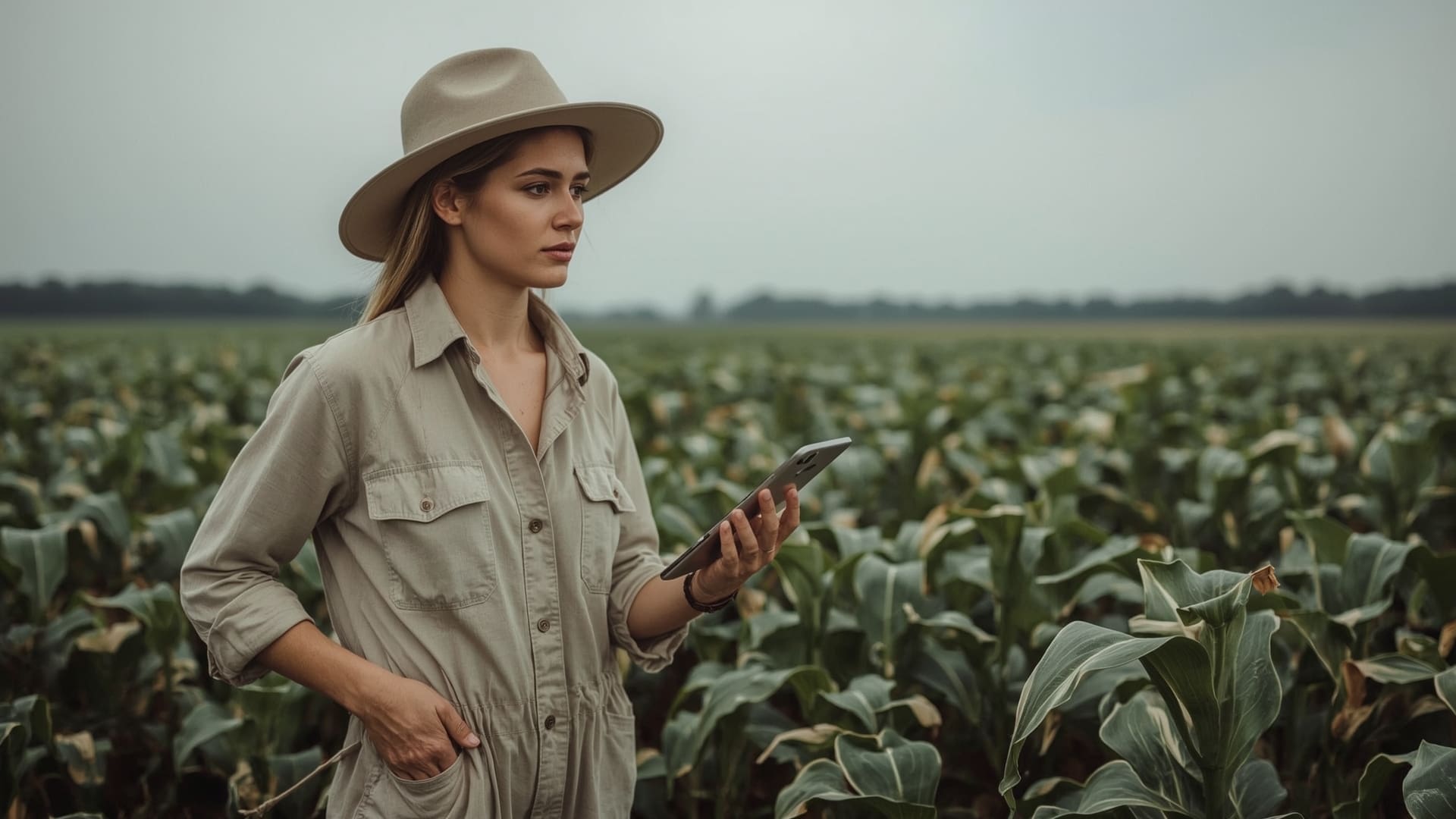
Does Drone Technology Work for Specialty Crops and Smaller NC Farms?
Quick Answer: Yes. Specialty crops like sweet potatoes, tobacco, and blueberries see some of the highest per-acre drone ROI because their market values are higher and precision matters more. Even 50-acre operations can benefit from a single scouting flight that prevents significant crop loss.
Specialty Crop ROI Considerations
Tobacco at $2.00–$2.50 per pound and sweet potatoes at $0.20–$0.45 per pound packed grade create a very different ROI equation than commodity corn. A 10% yield protection on just 30 acres of specialty tobacco can be worth $3,000–$6,000. A single $400 scouting flight that prevents that loss returns 650–1,400%.
Small operations benefit most from service-based drone scouting, particularly during the high-risk windows — canopy closure through early fill — when pest and disease pressure peaks in NC’s humid climate.
What Are the Limitations of Agriculture Drones That Affect ROI?
Quick Answer: Drones can’t replace soil sampling, can’t operate in winds above 20 mph or heavy rain, and require skilled data interpretation to produce actionable prescriptions. Poor flight timing, bad weather, or low-quality imagery sensors can eliminate most ROI potential.
When Drone Data Doesn’t Pay Off
Flying too early or too late in the season reduces the value of any issues detected. If the application window for treatment has closed, the scouting data becomes historical record, not actionable intelligence.
Data that isn’t connected to an agronomist or crop advisor also underperforms. The drone captures the signal. A qualified advisor interprets it. Without that interpretation step, you have a map with no prescription.
Weather and Operational Constraints in NC
North Carolina’s summer thunderstorm patterns limit consistent flight windows from June through August — exactly when scouting matters most. Scheduling drone services 2–3 weeks ahead during peak season helps avoid last-minute cancellations.
Drone spray applications also require wind speeds below 10–12 mph for optimal droplet placement. Late afternoon flights often provide the most stable conditions in eastern NC’s coastal plain region.
How Do You Build a Business Case for Agriculture Drone Services on Your Farm?
Quick Answer: Start with your highest-risk acres — fields with drainage variability, pest history, or disease pressure. Calculate the potential yield loss value on those acres, compare it against one scouting flight cost, and present that single ratio as your entry-point ROI case.
Step-by-Step: Building Your Agriculture Drone ROI Case
- Identify your highest-risk fields. Fields with known variability, wet spots, compaction zones, or historical disease pressure have the highest potential return from drone scouting.
- Establish your baseline input costs. Know your per-acre fertilizer and pesticide spend. This creates the denominator for your savings calculation.
- Estimate your yield loss risk. Talk to your NC Cooperative Extension agent about typical yield loss percentages for your crop and region under common stress conditions.
- Request a quote from a local provider. Compare the per-acre cost of one or two scouting flights against your estimated risk exposure.
- Run a single-season pilot. Start with 200–400 acres in your highest-risk fields. Track every input cost change and document yield outcomes versus historical averages.
- Scale based on results. If your pilot season shows positive returns, expand coverage the following year.
Frequently Asked Questions About Agriculture Drone ROI
How long does it take for an agriculture drone to pay for itself?
For a purchased drone used on 800–1,500 acres per season, the typical payback period is 2–4 growing seasons. Service contracts don’t require payback in the traditional sense — you evaluate ROI season by season based on savings and yield outcomes versus the service fee paid.
Can drones replace a crop scouting agronomist?
No. Drones collect data; agronomists interpret it. The highest-ROI operations use drone imagery to direct where an agronomist walks, not to replace the walk entirely. Remote sensing narrows the scouting area from 1,000 acres to the 40 acres most in need of attention.
What drone sensors produce the most useful data for NC farmers?
Multispectral sensors with at least four bands (Red, Green, Red Edge, Near-Infrared) produce the most agronomically useful data. RGB cameras are less effective for early stress detection. Thermal sensors add value for irrigation management and drainage pattern analysis.
Are there USDA programs that offset agriculture drone costs?
USDA’s Environmental Quality Incentives Program (EQIP) and the Conservation Stewardship Program (CSP) have historically offered cost-share for precision agriculture technology. Eligibility varies by county and practice code. NC FSA county offices can confirm current program availability and cost-share percentages for drone-based precision application.
What is NDVI and why does it matter for drone ROI?
NDVI stands for Normalized Difference Vegetation Index. It’s a calculation using near-infrared and red light reflectance to measure plant health on a scale of negative one to positive one. Healthy crops score 0.6–0.9. Stressed crops fall below 0.4. NDVI maps let you see plant stress as a data layer, not just a visual symptom.
How many acres can an agriculture drone cover per day?
A mid-size scouting drone covers 400–800 acres per day for imaging at standard mapping altitudes. Spray drones cover 100–300 acres per day depending on tank size, nozzle configuration, and terrain. Larger commercial spray drones like the DJI Agras T50 can cover up to 400 acres per day under optimal conditions.