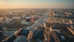
Drone photography for real estate listings has changed the way buyers discover homes. Instead of scrolling through flat, ground-level shots, buyers now see sweeping aerial views that show the full picture, the property, the yard, the neighborhood, and the surrounding area all at once. That context builds confidence and drives faster decisions.
If you are an agent or seller in a competitive market like Raleigh, North Carolina, aerial real estate photos are no longer a luxury. They are a practical tool that separates your listing from dozens of others sitting in the same price range. This guide explains exactly how drone listing photos work, what they deliver, and how to use them effectively.
Ready to learn more? Explore professional real estate drone services to see how aerial photography can elevate your next listing.
What Drone Photography for Real Estate Listings Actually Involves
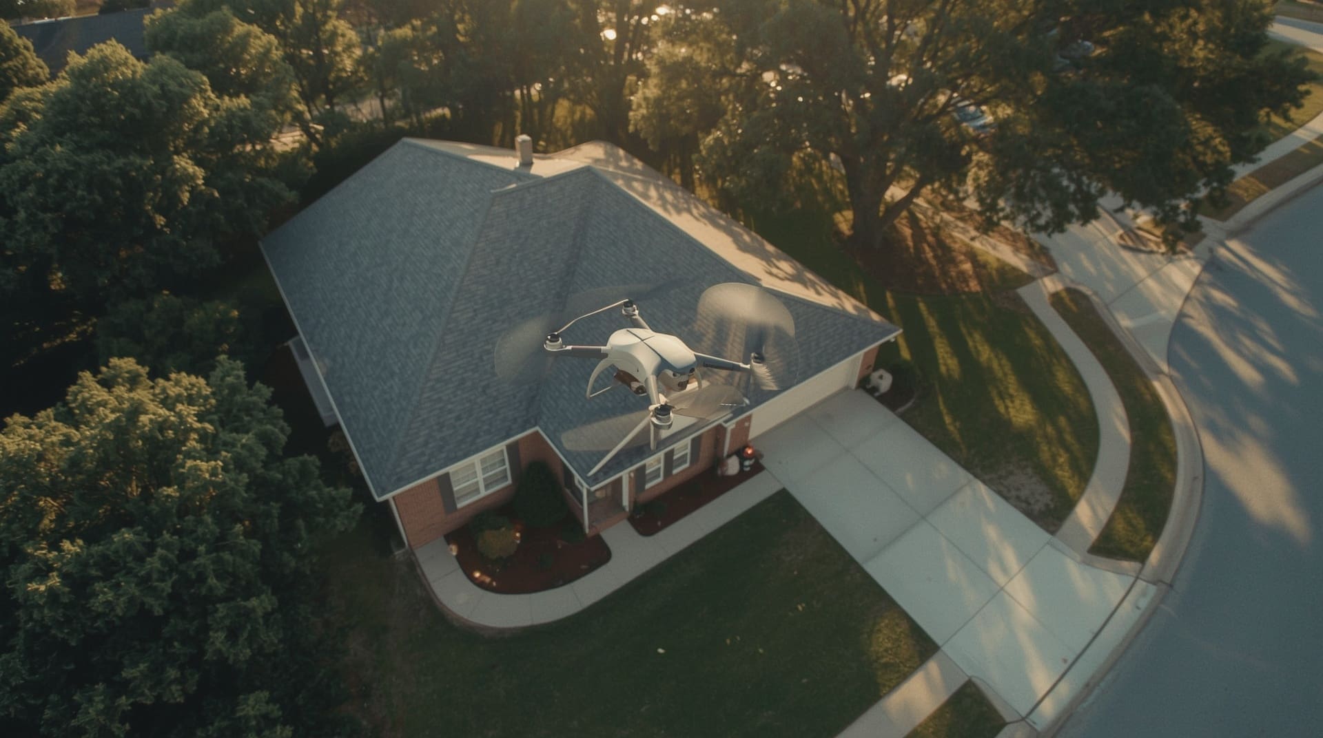
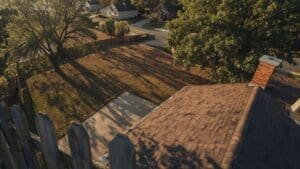
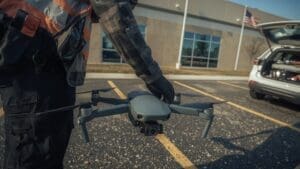
Drone photography uses a small, remotely piloted aircraft fitted with a high-resolution camera. The drone flies at low to moderate altitudes, typically between 50 and 400 feet, capturing still images and video from angles no ground photographer can reach. The result is a set of aerial real estate photos that show the full scope of a property in a single frame.
A professional drone shoot for a real estate listing usually includes exterior aerials, a roof-level overview, nearby amenity shots, and sometimes a short cinematic video flyover. Each asset serves a different purpose in the marketing package. Together they give buyers a complete visual story before they ever schedule a showing.
The Direct Impact on Listing Performance
Aerial real estate photos do more than look impressive. They change how long buyers spend on a listing page. More time on the page signals genuine interest, and genuine interest converts to showing requests faster. Listings with professional drone photography consistently generate more online engagement than those without it.
Drone listing photos also reduce unnecessary showings. When buyers can clearly see the property layout, lot size, and surroundings, they self-qualify before visiting. That means the buyers who do show up are already motivated, which shortens the overall sales cycle.
| Listing Feature | Without Drone Photos | With Drone Photos |
|---|---|---|
| Property scale visibility | Limited to ground views | Full lot and structure visible |
| Neighborhood context | Not shown | Proximity to parks, roads, retail shown |
| Buyer time on listing | Lower average engagement | Higher average engagement |
| Buyer self-qualification | Happens at the showing | Happens before the showing |
| Listing differentiation | Blends with similar listings | Stands out visually |
Property Types That Benefit Most from Aerial Real Estate Photos

Not every property gains equal value from drone listing photos, but a wide range of property types see a clear return. Understanding which situations make the biggest impact helps you decide when to invest in aerial coverage.
- Large lots and acreage: Ground cameras cannot capture how much land a property includes. Aerial shots show every acre clearly.
- Luxury and high-end homes: Buyers in this segment expect premium visuals. Drone photos signal that the listing is being marketed seriously.
- Properties with unique features: Pools, outbuildings, water frontage, and views only register fully from the air.
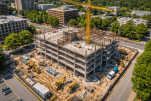
- New construction and developments: Aerial photos communicate scale, phase progress, and site context that ground shots miss entirely.
- Commercial real estate: Buyers and investors need to see parking, access points, and surrounding land use before moving forward.
- Neighborhood infill lots: Aerial views show the block, nearby amenities, and how the property fits into its surroundings.
How Drone Listing Photos Are Captured and Delivered
A professional drone pilot arrives at the property, assesses the site, and plans the flight path before the drone ever leaves the ground. Safety checks, airspace authorization, and weather conditions are all verified ahead of time. This pre-flight process protects the property, the pilot, and the quality of the final images.
The shoot itself typically takes one to two hours depending on property size and the number of angles needed. After the flight, images are edited for color, exposure, and sharpness before delivery. Most professional services deliver final files within 24 to 48 hours, so your listing timeline does not stall.
You will receive high-resolution JPEG files ready for MLS upload, social media, and print. If video was included, you get an edited flyover clip formatted for listing platforms and digital ads. Some providers also offer raw files or additional editing passes depending on the package.
FAA Rules and Licensing Requirements You Should Know
In the United States, commercial drone pilots must hold a valid FAA Part 107 Remote Pilot Certificate. This is a federal license that requires passing a written knowledge test covering airspace regulations, weather, and safe flight operations. Always confirm your pilot holds this certification before booking.
Drones flown for commercial purposes, including real estate photography, must also comply with local airspace rules. Properties near airports, military zones, or restricted airspace require an FAA authorization called a LAANC waiver before flight. A licensed pilot handles this process automatically. It is one of the clearest reasons to hire a professional rather than use a hobbyist with a consumer drone.
Using Drone Photography in the Raleigh Real Estate Market
The Raleigh area is one of the fastest-growing real estate markets in the Southeast. Neighborhoods across Wake County, from established communities near downtown to newer developments in the suburbs, attract buyers from across the country. Many of those buyers start their search online, often from out of state, before ever visiting in person.
For out-of-area buyers, aerial real estate photos are especially valuable. A clear aerial view of the neighborhood, nearby roads, and local green space gives remote buyers the geographic confidence they need to make strong offers. In a market where listings move quickly, that confidence can be the deciding factor between a fast offer and a pass.
Agents working in Cary, Durham, and Chapel Hill face the same dynamics. Competitive inventory means every listing needs a visual edge. Drone listing photos deliver that edge consistently across all property types and price points in the Triangle region.
What to Look for When Hiring a Drone Photography Service
Choosing the right provider matters as much as choosing to use drone photography at all. A poorly executed aerial shoot can actually hurt a listing by showcasing unflattering angles or delivering low-resolution files that look unprofessional on listing platforms.
Here are the key factors to evaluate before hiring:
- FAA Part 107 certification: Non-negotiable for any commercial shoot. Ask for proof before booking.
- Real estate portfolio: Look at examples of actual listing photos, not just landscape shots. Real estate aerials require specific framing and editing skills.
- Equipment quality: Professional-grade drones with large sensors produce noticeably sharper images than consumer models.
- Turnaround time: Listing timelines move fast. Confirm the provider delivers edited files within 24 to 48 hours.
- Insurance coverage: A reputable pilot carries liability insurance. This protects you if anything unexpected happens during the shoot.
- Local airspace knowledge: A provider familiar with the Raleigh and Triangle area already knows the airspace restrictions and can plan accordingly.
Common Mistakes Agents Make with Drone Listing Photos
Even when agents invest in drone photography, some common missteps reduce its effectiveness. Avoiding these mistakes ensures you get full value from every shoot.
Scheduling on a cloudy day: Overcast skies flatten aerial images and make properties look dull. Schedule shoots for partly cloudy to clear days when shadows and colors are most vivid.
Skipping the property prep: Cars in the driveway, yard debris, and equipment parked on the lawn are all visible from the air. Prepare the exterior as carefully as you would for interior staging.
Using only aerials in the listing: Drone listing photos complement ground-level photography. Use them together for a complete visual package, not as a replacement.
Choosing the lowest bid: Budget drone services often lack professional editing, proper licensing, or adequate equipment. The final images reflect the investment you made.
Final Thoughts on Drone Photography for Real Estate Listings
Drone photography for real estate listings is one of the highest-return visual investments an agent or seller can make. Aerial real estate photos give buyers the full picture, shorten decision timelines, and help listings stand out in crowded markets. In a region like Raleigh and the broader Triangle area, where buyer competition is high and out-of-state interest is constant, aerial drone listing photos have become an expected part of a professional marketing package.
The technology is proven, the regulations are clear, and the results are visible in listing performance. When you work with a licensed, experienced drone photography provider, you give your property the visual presentation it deserves. That presentation translates directly into faster sales and stronger offers.
Frequently Asked Questions About Drone Photography for Real Estate Listings
How much does drone photography for a real estate listing typically cost?
Pricing varies based on property size, the number of deliverables, and the provider’s experience level. Most residential real estate drone shoots fall into an affordable range that is a small fraction of a typical agent commission. Request a quote based on your specific property and the assets you need.
How long does a real estate drone shoot take?
Most residential shoots take one to two hours on site, including setup, flight, and breakdown. Larger properties or those requiring video in addition to stills may take longer. Edited files are typically delivered within 24 to 48 hours after the shoot.
Do I need special permission to use a drone for real estate photography?
Your pilot handles the necessary permissions. A licensed FAA Part 107 pilot manages all airspace authorizations, including LAANC waivers for restricted zones. As the agent or seller, you do not need to file anything yourself, but you should verify your pilot is licensed before booking.
Can drone photography be used for vacant land or commercial properties?
Yes, and these property types often benefit the most from aerial coverage. Vacant land listings are nearly impossible to market effectively without aerial views. Commercial buyers also rely on aerial photos to assess site access, parking, and surrounding land use before scheduling a visit.
What weather conditions are best for a drone real estate shoot?
Clear to partly cloudy days with light winds produce the best results. Bright overcast can work but tends to flatten colors and reduce visual contrast. High winds, rain, and fog are all grounds to reschedule. A professional pilot will monitor conditions and advise you on the best window for your shoot.