If you’re trying to budget a drone project in the Triangle, you’ve probably noticed that pricing online is all over the place. So let’s answer the real question: how much do drone services cost in Raleigh NC in 2026? Aerial photography starts at $395 for most residential shoots. From there, prices scale based on service type, deliverables, flight complexity, and turnaround time. This guide breaks down every major service category with real numbers so you can plan with confidence.
Key Takeaways
- Aerial photography starts at $395 — basic residential and real estate packages are the most affordable entry point for drone services in Raleigh.
- Mapping and surveying cost more — expect $800 to $3,000+ depending on acreage, deliverable format, and required accuracy.
- Inspections are priced by structure type — roof inspections, cell towers, and solar arrays each carry different rates based on complexity.
- Event drone coverage has flat-rate packages — weddings and corporate events typically run $600 to $1,800 for half-day or full-day coverage.
- FAA-licensed pilots protect you legally — hiring a Part 107-certified operator is not optional for commercial work in North Carolina.
- Turnaround time affects price — rush delivery (24-48 hours) typically adds 20-40% to the base rate.
What Factors Determine Drone Service Pricing in Raleigh?
Quick Answer: Drone service pricing depends on service type, flight time, deliverable format, pilot certifications, travel distance, and turnaround speed. In Raleigh, local market rates, airspace complexity near RDU, and project scale also directly affect your final quote.
Pricing is not one-size-fits-all in this market. A drone operator isn’t just charging for flight time. They’re pricing in pre-flight planning, airspace authorization (especially near RDU and Wake County controlled airspace), post-processing, and liability coverage.
Here are the core variables that move the needle on your quote:
- Service category — photography, videography, mapping, inspection, or agriculture
- Deliverable format — raw photos vs. edited gallery vs. orthomosaic map vs. 3D point cloud
- Flight duration and site complexity — multi-building sites or restricted airspace take longer to plan and fly
- Pilot certification and insurance — FAA Part 107 certification and $1M+ liability coverage are standard for commercial jobs
- Turnaround time — standard delivery is 3-5 business days; rush delivery adds cost
- Travel distance — most Raleigh-based operators include travel within the Triangle; outside that zone may add fees
How Much Does Aerial Photography and Videography Cost in Raleigh?
Quick Answer: Aerial photography in Raleigh starts at $395 for basic packages. Videography packages run $600 to $1,500 depending on edited video length, shot list complexity, and number of locations. Combined photo and video packages offer the best per-deliverable value.
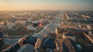
Aerial photography is the most common drone service requested in the Triangle. Real estate agents, architects, property developers, and marketing teams are the primary buyers. Pricing is typically structured by deliverable count and edit level.
| Package Type | Deliverables | Typical Price Range | Best For |
|---|---|---|---|
| Basic Photo | 10-15 edited stills | $395 – $550 | Residential real estate listings |
| Standard Photo + Video | 20 photos + 60-90 sec edited video | $700 – $1,000 | Commercial listings, community marketing |
| Premium Cinematic Package | 30+ photos + 2-3 min branded video | $1,200 – $2,000 | Luxury homes, development marketing |
| Half-Day Commercial Shoot | 4 hours on-site, multiple angles | $1,500 – $2,500 | Corporate campus, industrial facilities |
For real estate professionals in Raleigh, real estate drone photography services typically deliver edited images within 48-72 hours, which fits most MLS listing timelines. Listings with aerial photos sell faster — data from the National Association of Realtors consistently shows that visual content quality drives faster time-on-market and higher perceived value for residential and commercial listings.
What’s Included in a Standard Aerial Photo Package?
A standard Raleigh aerial photography package typically includes pre-flight airspace authorization, on-site flight, color-corrected edited stills delivered via download link, and a standard licensing agreement for marketing use. Raw files are usually available at an extra cost of $75 to $150.
Does 4K Video Cost More Than HD?
Yes, but not dramatically. Most professional operators in Raleigh shoot in 4K by default on modern drones. The upcharge — if any — is in the editing and export process, not the flight. Expect a $100-$200 premium if you need 4K final delivery versus 1080p.
What Does Real Estate Drone Photography Cost in Raleigh?
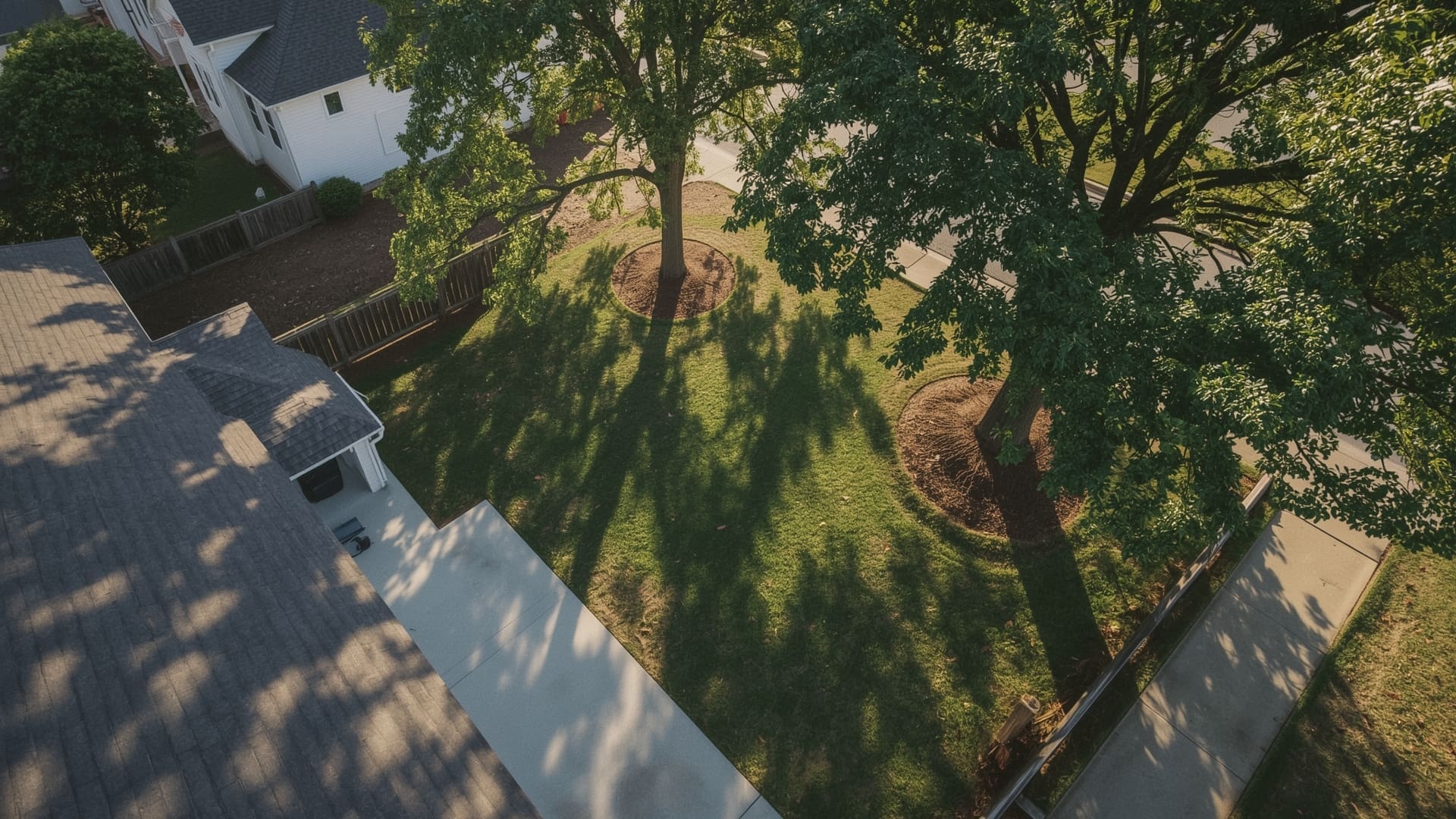
Quick Answer: Real estate drone photography in Raleigh costs $395 to $850 for most residential listings. Larger properties, multi-angle video walk-throughs, or twilight shoots increase the price. Most agents book the photo-plus-video combo at $700 to $1,000 for competitive listings.
Real estate is the highest-volume use case for drone services in the Triangle. The Raleigh market is competitive — agents need content that stands out on Zillow and MLS feeds. Pricing varies by property size, location, and the level of post-processing needed.
Do Twilight or Golden Hour Shoots Cost More?
Yes. Twilight and golden hour sessions require specific scheduling windows, often separate from standard daytime flights. Most operators charge a premium of $150 to $300 for twilight shoots due to the narrow scheduling window, lower natural light requiring more post-processing, and the need to coordinate timing with sunset.
What About New Construction or Vacant Land?
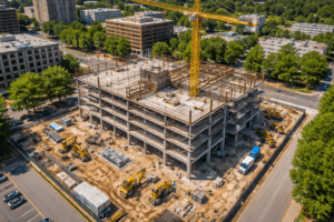
Vacant land and new construction shoots often require multiple passes at different altitudes to capture lot boundaries, nearby infrastructure, and surrounding neighborhood context. These typically run $450 to $750 for photo-only packages. If your project involves ongoing construction documentation, ask about construction drone services with recurring shoot packages — these often come with volume discounts for monthly or bi-weekly flights.
How Much Do Drone Mapping and Surveying Services Cost?
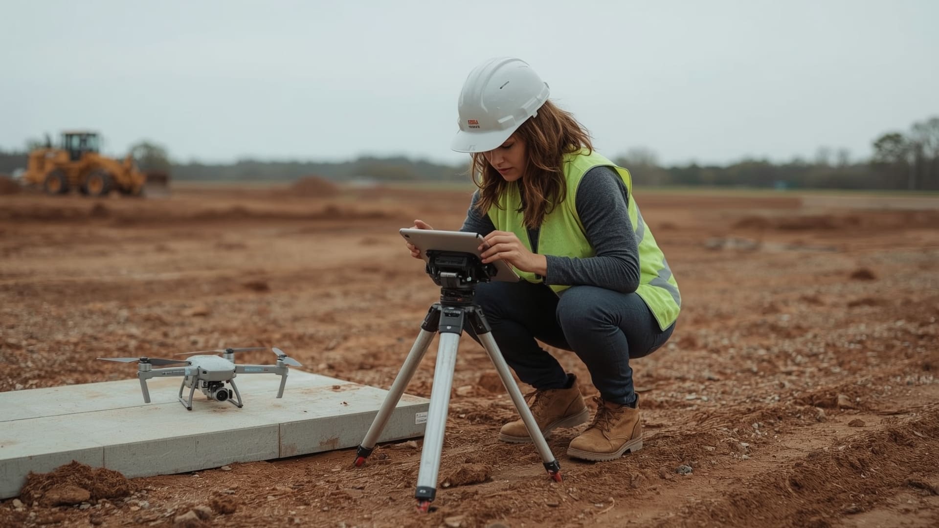
Quick Answer: Drone mapping in Raleigh costs $800 to $3,500+ depending on acreage, required accuracy, and deliverable type. Small site surveys under 10 acres run $800 to $1,200. Larger sites with orthomosaic maps, point clouds, or contour data cost significantly more.
Aerial mapping is a technical service. It’s not just flying a drone — it’s generating survey-grade data products that engineers, planners, and project managers use to make decisions. Pricing reflects that.
| Site Size | Deliverable Type | Price Range | Typical Use Case |
|---|---|---|---|
| Under 10 acres | Orthomosaic map | $800 – $1,200 | Small development sites |
| 10-50 acres | Ortho + contour lines | $1,500 – $2,500 | Civil engineering, land planning |
| 50-200 acres | Point cloud + 3D model | $2,500 – $4,000 | Grading, stockpile measurement |
| 200+ acres | Full survey package + GCPs | $4,000 – $8,000+ | Agriculture, large infrastructure |
Ground control points (GCPs) — physical markers placed on the ground to improve spatial accuracy — add $200 to $600 to any mapping project. They’re essential when your data needs to meet engineering-grade tolerances. According to the FAA’s commercial UAS regulations under Part 107, any drone operation for compensation must be conducted by a licensed Remote Pilot-in-Command — which affects which operators can legally deliver mapping data for commercial use.
What Is an Orthomosaic Map?
An orthomosaic map is a stitched aerial image corrected for distortion and scaled to real-world measurements. Think of it like a highly accurate satellite image of your specific site. It can be imported into AutoCAD, GIS software, or construction management platforms. These are the most commonly requested deliverable for engineering and planning projects in Wake County.
What Are Drone Inspection Services Priced At?
Quick Answer: Drone inspections in Raleigh cost $350 to $2,500+ depending on structure type. Residential roof inspections start around $350 to $500. Commercial rooftops, cell towers, and solar arrays run $750 to $2,500. Thermal imaging inspections add $300 to $800 to any base rate.
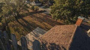
Inspections are one of the fastest-growing segments in the Raleigh drone market. Roofing contractors, insurance adjusters, property managers, and utility companies are all using drones to reduce risk and cut inspection time. The key cost driver is structure type and whether thermal imaging is required.
| Inspection Type | Structure Size | Price Range | Deliverable |
|---|---|---|---|
| Residential Roof | Under 3,000 sq ft | $350 – $500 | Annotated photo report |
| Commercial Roof | Flat roof, 5,000-50,000 sq ft | $750 – $1,800 | Full condition report + photos |
| Solar Array | Residential to commercial | $600 – $1,500 | Thermal + RGB imagery |
| Cell Tower | Any height | $800 – $2,500 | Close-up annotated imagery |
| Thermal Add-On | Any structure | +$300 – +$800 | Thermal imagery + overlay report |
Field Experience
On a recent commercial rooftop inspection in Raleigh, our team flagged three sections of membrane delamination that weren’t visible from ground level. The property manager had been quoted $12,000 for a manual inspection scaffold setup. The drone inspection cost $950 and delivered a full annotated report with GPS-tagged imagery within 48 hours — saving the client thousands before any repair bids went out.
For a detailed look at what these reports include and how they’re used, explore our drone inspection services and deliverable formats.
How Much Does Event Drone Coverage Cost in Raleigh?
Quick Answer: Event drone services in Raleigh cost $600 to $1,800 for most packages. Weddings with half-day flight coverage run $800 to $1,200. Corporate events and private celebrations vary by duration, deliverables, and coordination complexity. Full-day rates reach $1,500 to $2,500.
Weddings, corporate gatherings, and private celebrations are increasingly including drone coverage as a standard media element. The drone operator typically coordinates with your photographer and videographer to get aerial perspectives during key moments — venue arrival, ceremony, and reception overview shots.
| Event Type | Coverage Duration | Price Range | Deliverables |
|---|---|---|---|
| Wedding | 2-4 hours | $800 – $1,200 | Edited stills + short video highlight |
| Corporate Event | Half day (4 hrs) | $1,000 – $1,500 | Branded video + photo gallery |
| Private Celebration | 2-3 hours | $600 – $900 | Photo package + short reel |
| Full-Day Multi-Event | 6-8 hours | $1,800 – $2,500 | Full edited video + gallery |
Are There Extra Fees for Venue Permits or Restricted Airspace?
Yes. Some Raleigh-area venues require proof of insurance and may charge a permit fee for drone operations on their property. Restricted airspace near RDU can require LAANC (Low Altitude Authorization and Notification Capability) authorization — a process your operator handles but that may add to scheduling time. Most experienced operators build this coordination into their quote.
What Do Commercial Drone Services Cost for Businesses in Raleigh?
Quick Answer: Commercial drone services in Raleigh range from $1,000 to $10,000+ depending on scope. Marketing video campaigns, industrial site documentation, and multi-day construction monitoring are the main commercial categories, each with distinct pricing structures.
Commercial work covers everything from corporate campus marketing to infrastructure documentation. These projects often require customized scope-of-work agreements rather than off-the-shelf packages. Pricing is typically quoted after a site review or discovery call.
What Drives Commercial Drone Project Costs Higher?
- Multi-day shoots — large campuses or ongoing construction sites require repeated flights
- Complex deliverables — 3D models, BIM integration, or branded broadcast-quality video cost more to produce
- Crew requirements — some commercial jobs require a visual observer or second operator for safety
- Post-production intensity — motion graphics, voiceover, color grading, and sound design add cost to video deliverables
- Insurance requirements — some clients require operators to carry $2M+ liability coverage, which not every operator carries
For a full overview of business-focused drone applications in the Triangle, see our commercial drone services page for scope and pricing guidance.
How Much Do Agricultural Drone Services Cost?
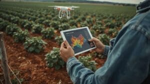
Quick Answer: Agricultural drone services in Raleigh and surrounding Wake, Johnston, and Chatham Counties cost $8 to $25 per acre for NDVI imaging and crop health mapping. Larger farms benefit from per-acre pricing that decreases as acreage increases. Spraying services carry separate pricing per acre.
The Triangle sits at the edge of North Carolina’s farming belt. Farms in Wake, Johnston, Harnett, and Chatham Counties use drone services for crop health imaging, irrigation analysis, and field mapping. Pricing in agriculture is typically per-acre rather than per-hour.
| Service | Per-Acre Rate | Minimum Charge | Output |
|---|---|---|---|
| NDVI Crop Imaging | $8 – $15/acre | $350 | Vegetation index map |
| Full Field Mapping | $12 – $20/acre | $500 | Orthomosaic + NDVI overlay |
| Irrigation Analysis | $15 – $25/acre | $600 | Thermal + moisture map |
Is It Cheaper to Hire a Drone Company or Buy Your Own Drone?
Quick Answer: For most Raleigh businesses, hiring a drone company is more cost-effective than buying equipment. A professional drone setup costs $3,000 to $15,000, plus FAA Part 107 training, insurance, and ongoing maintenance. Hiring eliminates all those fixed costs and gives you licensed, insured output.
The math only favors ownership if you need drone services more than 50-60 times per year. Below that threshold, the cost-per-project from hiring a licensed operator beats the total cost of ownership. That’s before factoring in the FAA requirement that any commercial drone flight — meaning any flight conducted for compensation or business purposes — must be operated by a Part 107-certified Remote Pilot-in-Command.
What Are the Hidden Costs of Owning a Drone for Business Use?
- FAA Part 107 Certification — study materials and exam fee average $300 to $600
- Equipment — professional-grade drone: $3,000 to $15,000; thermal payload adds another $3,000 to $8,000
- Insurance — commercial drone liability insurance: $750 to $2,000 per year
- Software licenses — mapping software like DJI Terra or Pix4D: $350 to $1,800 per year
- Maintenance and repairs — average $500 to $1,500 annually depending on flight frequency
- Your time — learning to fly, edit, and process deliverables takes dozens of hours
What Questions Should You Ask Before Hiring a Drone Company in Raleigh?
Quick Answer: Before hiring a drone operator in Raleigh, verify their FAA Part 107 certification, ask about liability insurance limits, confirm airspace authorization capability near your site, and request sample deliverables from similar past projects. These four checks protect your project and your legal exposure.
Not all drone operators are equal. The Raleigh market has a mix of licensed professionals and hobbyists who may undercut prices but can’t legally fly commercial jobs. Here’s what to verify before you sign anything.
Required Credentials and Compliance Checklist
- FAA Part 107 Remote Pilot Certificate (ask to see the certificate number)
- Liability insurance with at least $1,000,000 per occurrence coverage
- Experience with your specific project type (real estate vs. mapping vs. inspection work is very different)
- LAANC authorization capability if your site is within controlled airspace
- A formal deliverable timeline and revision policy in the contract
- Rescheduling policy for weather delays
The FAA’s commercial drone operator requirements make clear that unlicensed commercial drone operations carry civil penalties up to $32,666 per violation — so your operator’s credentials protect you as much as they do themselves.
How Does Raleigh’s Location Near RDU Affect Drone Service Pricing?
Quick Answer: Raleigh-Durham International Airport creates controlled airspace that affects drone operations across a wide radius. Sites near RDU require LAANC authorization before flight. Most operators include this process in their standard rates, but complex locations or altitude waivers may add $100 to $300 to your project cost.
Wake County has some of the most layered airspace in North Carolina. Beyond RDU, there are restricted zones around government buildings, sports venues, and temporary flight restrictions during major events. A qualified local operator knows this terrain and handles authorization as part of their service. Budget for a small premium if your site is within the RDU Class C airspace boundary — generally within 5 nautical miles of the airport’s center.
What Is the Best Way to Get an Accurate Quote for Drone Services in Raleigh?
Quick Answer: The fastest path to an accurate drone service quote in Raleigh is to provide your site address, project type, required deliverables, and deadline. Most operators can turn around a written quote within 24 hours of receiving that information. Avoid operators who quote without asking those questions first.
Vague requests get vague quotes. When you reach out for pricing, be specific. Tell the operator your property address (so they can check airspace), the deliverable format you need (photos, video, orthomosaic, inspection report), your deadline, and whether you have any special requirements like thermal imaging, rush delivery, or branded video editing. That information gets you a price you can actually build a budget around.
Should You Get Multiple Quotes?
Yes, but compare carefully. A $250 quote from an unlicensed operator carries real legal and quality risks. Compare licensed, insured operators with documented experience in your project type. Price differences between professionals usually come down to deliverable quality, turnaround time, and post-production depth — not arbitrary markup.
Frequently Asked Questions
What is the minimum cost for drone services in Raleigh?
Most professional drone operators in Raleigh have a minimum project fee of $350 to $395. This covers a basic residential aerial photo session with 10-15 edited images. Any project below that threshold is unlikely to find a licensed, insured professional willing to take it on at a lower rate.
Do drone operators in Raleigh charge a travel fee?
Most operators cover the Triangle without a travel surcharge — that generally means Raleigh, Cary, Durham, Chapel Hill, Apex, and Garner. Sites beyond roughly 30 miles from downtown Raleigh may incur a mileage fee, typically $0.50 to $1.00 per mile over that threshold.
How long does a drone shoot take on-site?
A standard residential photo session takes 30 to 60 minutes on-site. Commercial or mapping projects run 2 to 6 hours depending on site size and deliverable requirements. Inspection jobs vary from 45 minutes for a simple roof to a full day for a large commercial structure.
Can bad weather delay my drone project and does it cost extra to reschedule?
Yes, weather delays are common in Raleigh due to afternoon thunderstorm patterns, especially in summer. Most professional operators have a rescheduling policy that allows one weather delay at no charge. Review your contract before booking to confirm this is included.
What file formats do I receive after a drone mapping project?
Mapping deliverables commonly come in GeoTIFF (orthomosaic), LAS or LAZ (point cloud), DXF or DWG (contour lines for AutoCAD), and KMZ or SHP (for GIS platforms). Your operator should confirm format compatibility with your engineering or planning software before the project starts.
Is drone footage from a Raleigh shoot licensed for commercial use?
Usage rights depend on your contract. Most standard packages include a commercial use license for marketing and business purposes. Broadcast rights, stock footage resale, or use in paid advertising often require an extended license. Always confirm this in writing before your shoot date.