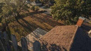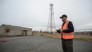
A single faulty panel in a large array can quietly drain your system’s output for months before anyone notices. Drone solar panel inspection changes that. Using thermal imaging cameras mounted on unmanned aircraft, a trained pilot can scan hundreds of panels in a fraction of the time a ground crew would need, and do it without ever putting a technician at height.
Whether you manage a rooftop commercial system or a multi-acre ground-mounted array, aerial inspection gives you a detailed, data-rich report showing exactly which panels are underperforming and why. The result is faster repairs, lower labor costs, and a system that produces at its full potential.
Ready to learn more? Explore our full range of drone inspection services to see how aerial technology protects your assets.
What Drone Solar Panel Inspection Actually Involves
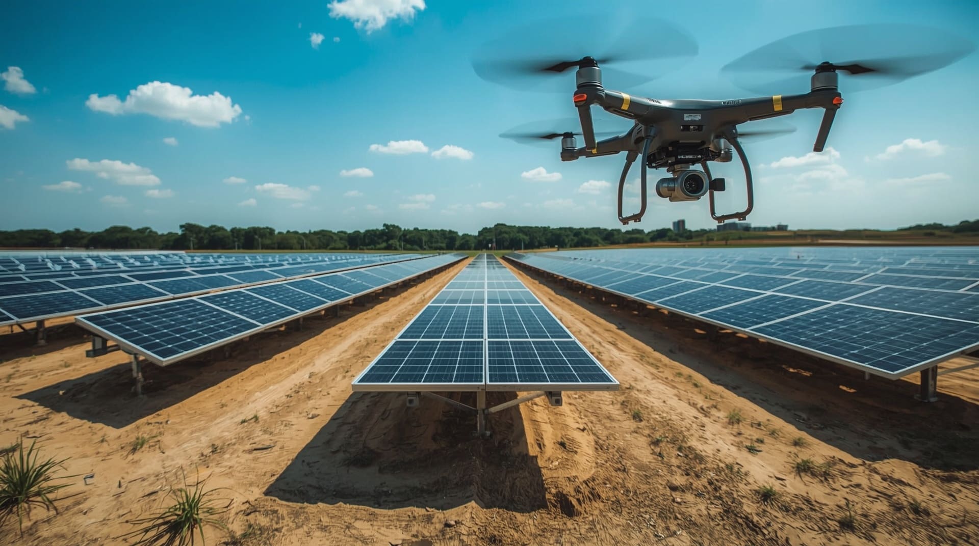
Drone solar panel inspection is the process of flying a UAV (unmanned aerial vehicle) equipped with thermal and RGB cameras directly over a solar array to detect heat anomalies, physical damage, and soiling. Thermal imaging, also called infrared inspection, measures surface temperature differences across each panel. A healthy panel has an even heat signature. A faulty one runs hotter or cooler in specific spots, which shows up clearly on thermal imagery.
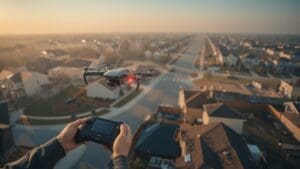
A typical flight involves a pre-programmed grid pattern that covers the entire array systematically. The drone captures both thermal and high-resolution visual data simultaneously. After the flight, the imagery is processed into a georeferenced report that maps every anomaly back to its exact location in the array.
The Faults That Thermal Imaging Catches First

Not all solar panel problems are visible to the naked eye. Many of the most costly faults only reveal themselves as heat signatures, which is exactly why a pv panel aerial survey is so effective compared to a standard visual walkthrough.
- Hot spots: Localized high-temperature zones caused by cell damage, shading, or contamination. These reduce output and can eventually cause panel fires.
- Bypass diode failure: A failed bypass diode forces current through a damaged cell string, creating a distinctive thermal signature across a row of cells.
- Delamination: Moisture intrusion between panel layers shows as irregular warm patches and can accelerate long-term degradation.
- Soiling and shading: Bird droppings, dust, and debris create cool spots that reduce the affected cells’ contribution to overall output.
- String failures: An entire string of panels going dark on thermal imagery points to a wiring or inverter connection problem upstream.
- PID (Potential Induced Degradation): A voltage-driven degradation effect that causes systematic efficiency losses across multiple panels simultaneously.
Catching these early means repairs happen while they are still minor. Ignoring them compounds both the energy loss and the eventual repair bill.
How a Solar Farm Drone Inspection Compares to Manual Methods
A solar farm drone inspection covers ground that would take a human crew days in just a few hours. For large utility-scale arrays in North Carolina, that speed difference is significant. Ground teams need scaffolding or elevated platforms to inspect roof-mounted systems, and they can only cover a small number of panels per hour with handheld thermal cameras.
| Factor | Drone Inspection | Manual Inspection |
|---|---|---|
| Speed | Entire array in hours | Days to weeks |
| Safety risk | Minimal (no roof access needed) | High (working at height) |
| Data coverage | 100% of array captured | Sampling-based, gaps likely |
| Thermal imaging quality | High-resolution aerial view | Handheld, angle-limited |
| System downtime | None required | Partial shutdowns may apply |
| Report turnaround | 24-72 hours post-flight | Variable, often weeks |
Beyond speed, drone inspections also remove the liability of roof access. For commercial building owners in Raleigh and across the Triangle, eliminating that risk alone often justifies the cost.
The Equipment That Makes It Work
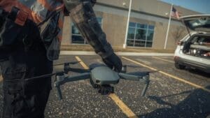
The quality of a drone solar inspection depends entirely on the sensors the UAV carries. A standard RGB camera shows physical damage like cracked glass or discoloration. A radiometric thermal camera, however, records precise temperature data for every pixel in the image, making it possible to quantify how hot a fault actually is, not just detect that one exists.
Modern inspection drones combine both sensors in a single payload. This dual-sensor approach means every flight produces a matched pair of thermal and visual images, making faults easier to locate on the ground for maintenance crews. GPS tagging links each image to an exact coordinate, so your maintenance team knows precisely which panel needs attention without guessing.
Flight planning software also matters. Automated grid missions set consistent altitude, speed, and overlap ratios, ensuring repeatable results across multiple inspection cycles. This consistency is critical when you want to compare this year’s data against last year’s to track degradation trends over time.
Ideal Conditions for a Reliable Aerial Inspection
Thermal imaging requires the panels to be generating electricity and producing heat. This means flights must happen during daylight when irradiance (the amount of solar energy hitting the panels) is high enough to create meaningful temperature differences between healthy and faulty cells. Early morning and late afternoon can produce misleading results due to low sun angles.
Wind speed matters too. High winds cool panel surfaces quickly, reducing the temperature differential that reveals faults. Most inspection protocols target days with wind speeds under 15 mph and clear skies. In North Carolina’s piedmont region, mid-morning flights on sunny spring and fall days often offer the best combination of strong irradiance and calm conditions.
Rain in the 24 hours before a flight can temporarily mask some thermal anomalies as evaporative cooling evens out surface temperatures. Scheduling at least one day after rain ensures the data you collect accurately reflects each panel’s operating condition.
How Aerial Inspection Data Translates Into Actionable Reports
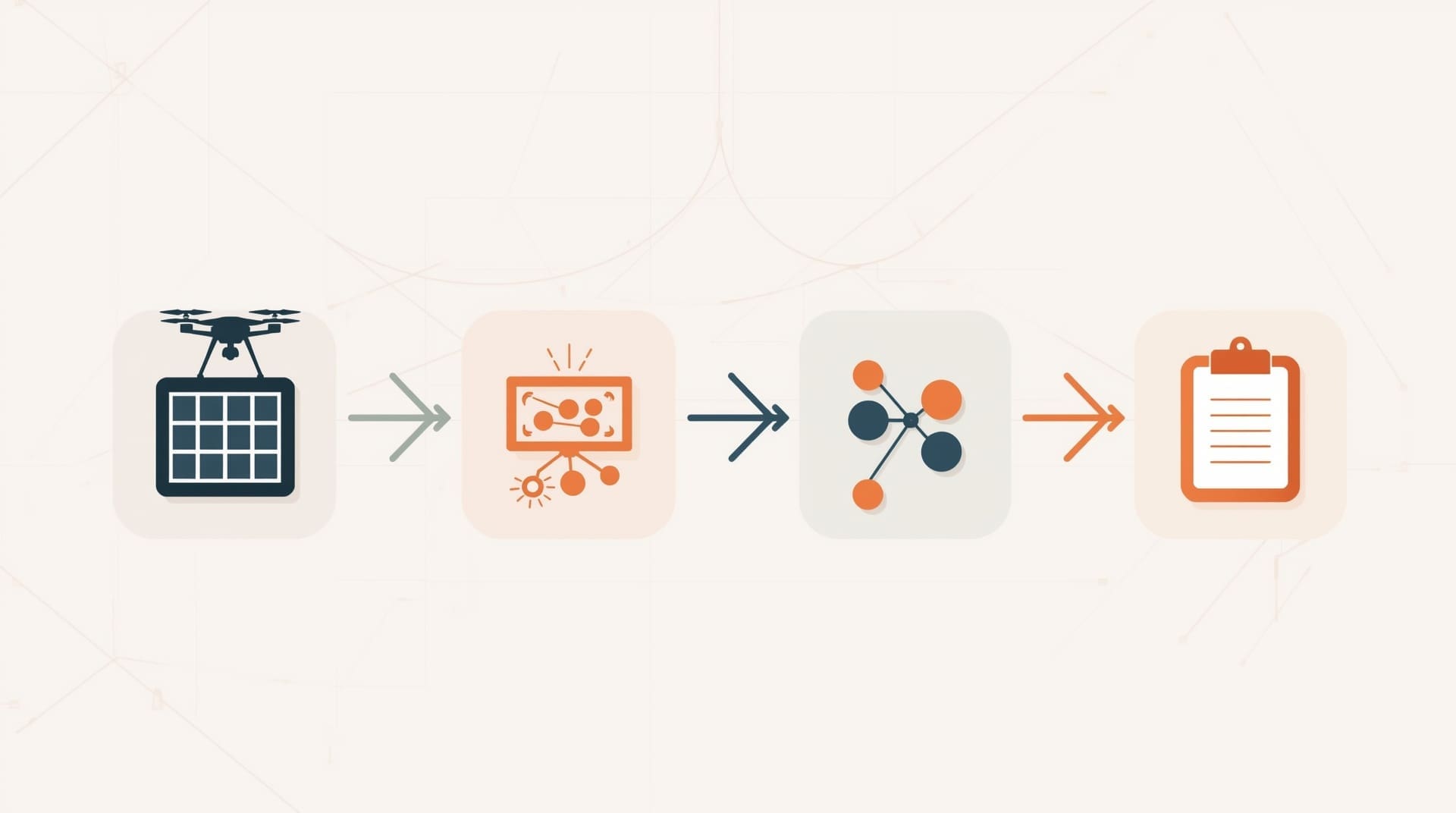
Raw thermal footage is only useful if it gets turned into a clear, prioritized maintenance plan. After a flight, the imagery is processed using specialized software that stitches individual frames into an orthomosaic (a geometrically corrected top-down map of the entire array). Each anomaly is flagged, classified by fault type, and assigned a severity level.
A well-structured inspection report typically includes:
- A full-array thermal map showing anomaly locations
- Individual panel images for each fault with temperature data overlaid
- Fault classification by type (hot spot, diode failure, soiling, etc.)
- Severity ranking to help you prioritize repairs
- GPS coordinates or panel ID numbers for each flagged unit
- Estimated impact on system output if faults are left unaddressed
This format lets your O&M (operations and maintenance) team go straight to the highest-priority panels without spending time hunting for problems in the field. Similar principles apply in other infrastructure sectors. Drone bridge inspection, for example, follows the same data-to-report workflow, converting aerial imagery into structured defect logs that guide repair crews efficiently.
Regulatory and Safety Considerations for Drone Flights
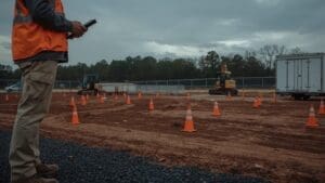
All commercial drone operations in the United States are governed by the FAA (Federal Aviation Administration) under Part 107 rules. A Part 107 certified pilot must conduct any flight done for commercial purposes, including solar inspections. Flying without certification exposes both the operator and the property owner to significant liability.
Beyond certification, pilots must check for airspace restrictions before every flight. Some solar facilities in North Carolina sit near regional airports or within controlled airspace zones that require prior authorization through the FAA’s LAANC system (Low Altitude Authorization and Notification Capability). A professional inspection provider handles all of this before the drone ever leaves the ground.
Insurance is another non-negotiable. Commercial drone operators should carry liability coverage sufficient to protect your property in the event of an incident. Always confirm your inspection provider’s insurance status before work begins.
How Often You Should Schedule Solar Panel Inspections
For most commercial and utility-scale systems, an annual thermal inspection is the minimum recommended frequency. Many operators in the solar industry schedule two inspections per year: one in spring after winter weather stress, and one in late summer when high temperatures amplify thermal anomalies and make faults easier to detect.
New installations benefit from a baseline inspection within the first 90 days of operation. This establishes a clean reference dataset and catches any installation defects before they cause long-term damage. If your system ever shows an unexplained drop in output, an unscheduled inspection can quickly identify whether a panel fault is responsible.
Larger solar farm operators sometimes schedule quarterly inspections as part of a comprehensive asset management program. The cost per inspection is almost always far lower than the revenue lost from undetected faults running for months.
The Financial Case for Regular Drone Inspections
Every underperforming panel costs you money every day it keeps operating below capacity. A single hot spot fault can reduce a panel’s output by 10 to 40 percent depending on severity. Across a large array, even a small percentage of faulty panels adds up to significant lost generation over the course of a year.
Drone inspection costs scale with array size but are generally far lower than the revenue losses they prevent. When you factor in the reduced labor hours compared to manual inspection, the elimination of safety-related liability, and the speed of the repair cycle that follows a clear prioritized report, the ROI is straightforward for most commercial operators.
Facilities that conduct regular aerial surveys also tend to perform better during warranty claim processes. Dated thermal imagery provides objective evidence of a panel’s condition at a specific point in time, which supports claims with manufacturers and insurers.
Choosing the Right Drone Inspection Provider
Not every drone pilot has the skills or equipment needed for a quality solar inspection. Here are the key qualifications to verify before hiring:
- FAA Part 107 certification: Non-negotiable for any commercial drone flight.
- Radiometric thermal camera: Confirm the pilot uses a true radiometric sensor, not a basic thermal viewer that cannot record precise temperature data.
- Solar inspection experience: Ask to see sample reports from previous solar projects, not just general aerial photography work.
- Liability insurance: Verify the coverage amount is appropriate for the size and value of your installation.
- Data processing capability: A good provider delivers a processed report with anomaly classification, not just raw footage.
- Local airspace knowledge: Particularly important in areas around Raleigh, Durham, and Cary where airspace complexity can vary significantly.
Asking these questions upfront ensures you get actionable, defensible data rather than a basic aerial video that leaves you doing your own analysis.
Final Thoughts on Drone Solar Panel Inspection
Drone solar panel inspection is no longer a premium add-on reserved for utility-scale farms. It is a practical, cost-effective maintenance tool for any commercial solar operator who wants to protect their investment and maximize output. Thermal imaging from the air finds faults faster, more safely, and more completely than any ground-based method can match.
If your system has not had an aerial thermal survey in the past 12 months, you are likely operating with unknown faults already reducing your returns. Scheduling an inspection is the fastest way to know exactly where your system stands and what it will take to bring it back to full performance.
Frequently Asked Questions About Drone Solar Panel Inspection
How long does a drone solar panel inspection take?
Flight time depends on array size and site conditions. A rooftop commercial system typically takes one to two hours on site. A large ground-mounted solar farm may require a full day of flights. Report processing after the flight usually adds another 24 to 72 hours before you receive your final deliverable.
Can drones inspect panels while they are generating electricity?
Yes, and they should. Thermal inspection requires panels to be active and producing heat. Inspecting a powered-off system produces no useful thermal data. The drone flies above the array without any contact, so there is no interruption to power generation during the flight.
What is the difference between RGB and thermal drone imagery for solar inspections?
RGB imagery (standard color photography) shows physical damage like cracks, chips, and soiling that is visible to the eye. Thermal imagery captures heat signatures that reveal internal faults invisible from the surface. A quality inspection uses both sensor types together so no category of fault goes undetected.
Do I need to be present during the inspection flight?
You do not need to be on site during the flight, though it helps to have a facility contact available to grant access and answer site-specific questions. Most professional providers coordinate all logistics in advance and can operate independently once access is confirmed.
How do I use the inspection report to prioritize repairs?
A well-structured report classifies faults by severity: critical, moderate, and low priority. Start with critical faults such as hot spots near junction boxes or bypass diode failures, as these carry the highest safety risk and output impact. Moderate faults should be scheduled for the next routine maintenance visit. Low-priority items like minor soiling can often be addressed during standard cleaning cycles.